This is the HOME page for the Route 66 Adventure from Chicago to LA. This adventure ride took place in 2015 and 2016 in 5 Legs: Legs 1-4 were pedaling from Chicago to Adrian TX (on the New Mexico border); Leg 5 was on a motorcycle from Denver to Adrian TX to Santa Monica Pier (LA), and back to Denver, completing the Route 66 ride (and then some).
This site is about biking, pedal biking, specifically tadpole trike biking, on Route 66 (mostly) from Chicago to LA (actually to Santa Monica Pier).
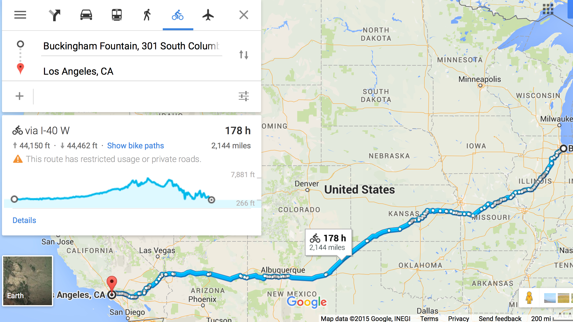
Route 66, now officially decommissioned, was a famous national highway, begun in the 1920s. It linked that great midwestern outpost of Chicago with the magical American Bali Hi, Los Angeles. Across it, countless thousands and millions migrated, some settling along the way, others becoming Californians, and still others returning and finding home again.
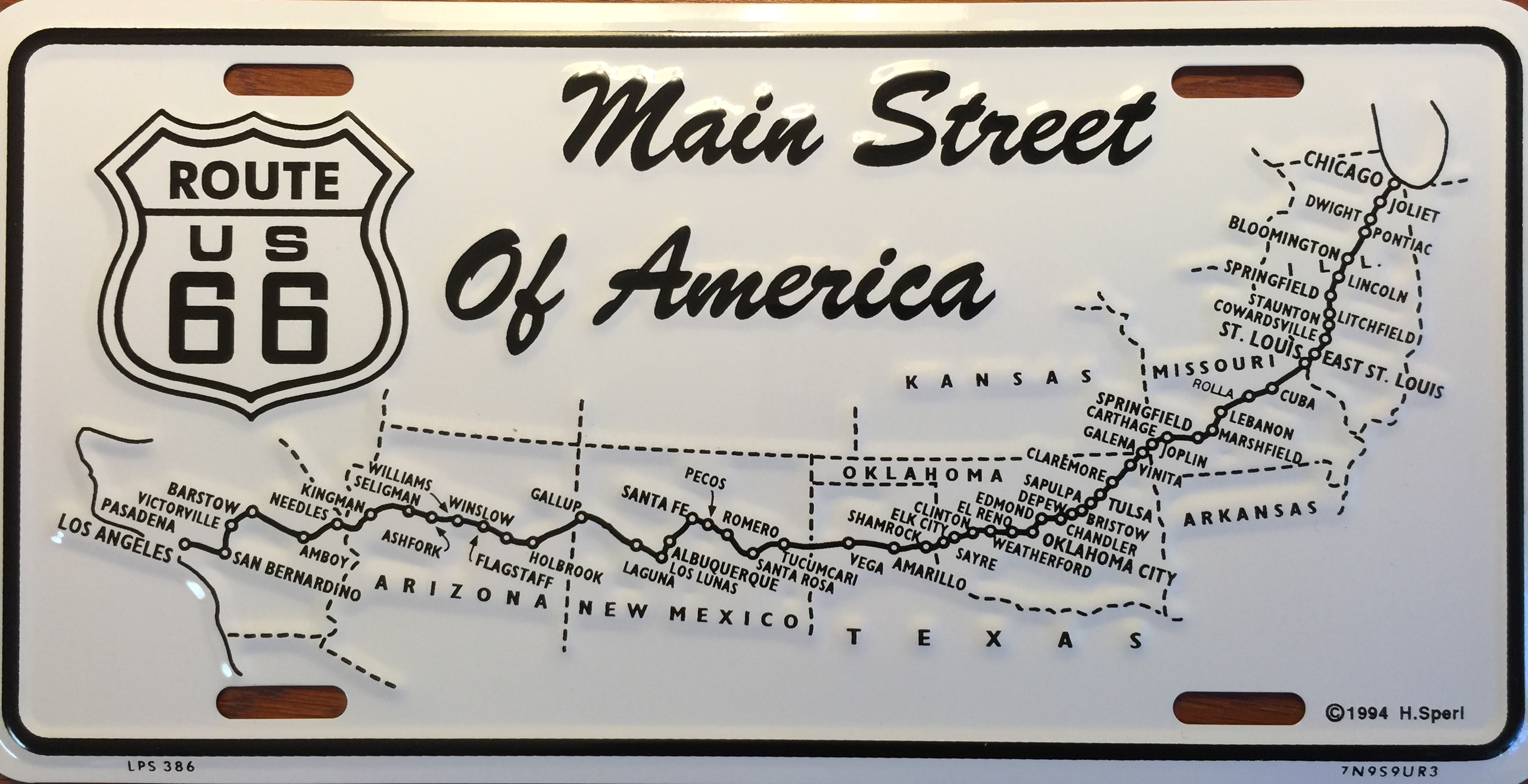
The original Route 66, known as “Historic 66” no longer exists except in small fragments here and there. It’s replacement, known as “Old 66,” exists in more places but it too has been mostly lost, replaced by various Interstate Highways.
There is no end-to-end bike trail either. But there are stretches. So between, Historic 66, Old 66, recognized bike trails, and all manner of side and even main roads, one can navigate by bicycle from Chicago to the Pacific Ocean.
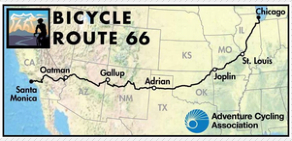
Adventure Cycling Association (ACA) publishes many bicycle maps across America: http://www.adventurecycling.org/
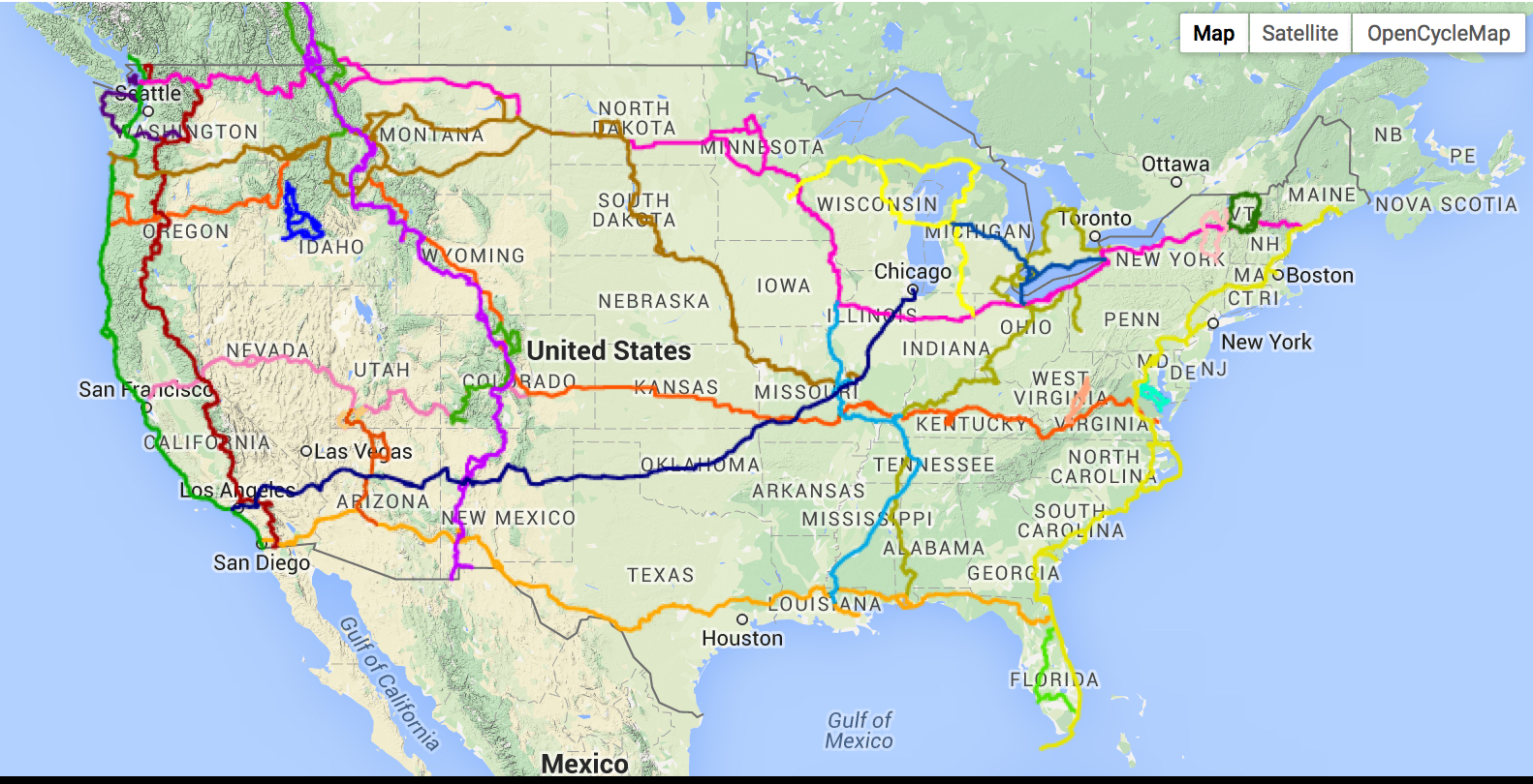
ACA published its first edition of the Route 66 bicycle map in 2015:
Going Chicago West, the route begins at downtown Chicago, on the shores of Lake Michigan, at Buckingham Fountain. Below was our departure morning, early on an August Saturday morning in light, steady rain.
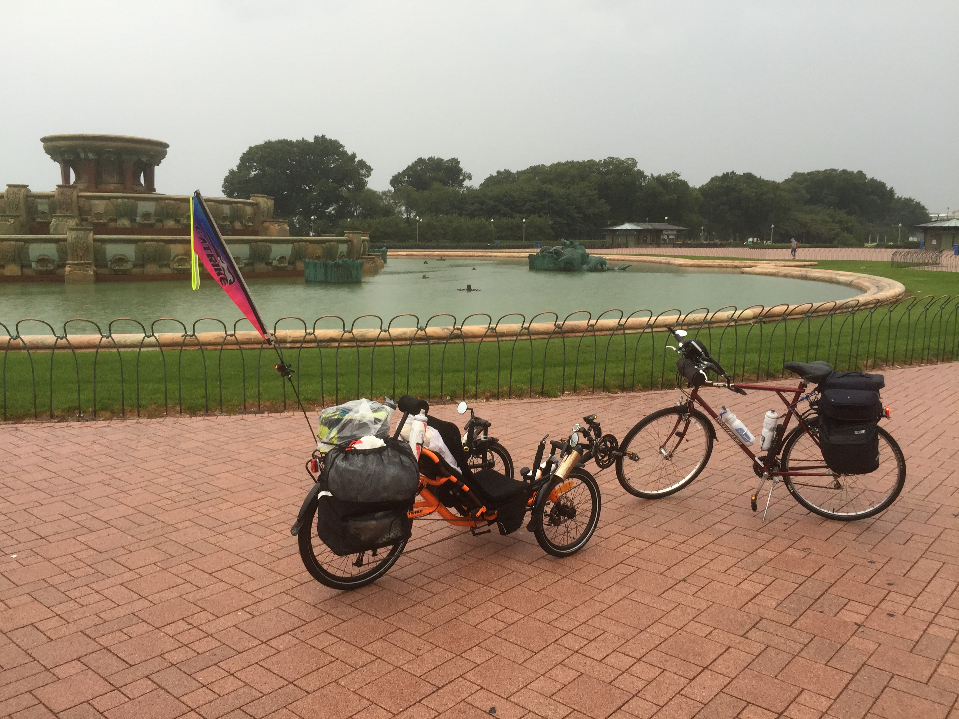
Shown in the above picture on the left is my bike, a 2015 Catrike Model 559, aka “The Orange Flash.” On the right is a Trek, ridden by my riding companion, a friend dating back to our earliest high school days in the late 1950s; we’ve been friends ever since.
In the distance obscured by the rain and early morning fog is Lake Michigan. Looking west one can see the heart of downtown Chicago.
“The Plan” is to do the entire Route 66, but in stages (legs).
Leg 1 :
Chicago to the Gateway Arch in St Louis, actual GPS 354 miles traveled using the app Cyclometer.
Pictures, video, and brief text is given for each day at the shown link. You may need to click on the downward facing arrow to expand the menu to see each day.
For reasons beyond my understanding, and my skill set to fix, when this site is viewed on a smart phone or iPad, some of the images appear rotated or even upside down. When they are viewed on a Mac, using Firefox of Safari, everything is right side up but for the one video leaving Springfield, which remains rotated despite my efforts to fix.
Leg 1 is recorded here:
LEG 2:
Gateway Arch to Clinton MO via the Katy Trail, and then to Joplin MO, rejoining Route 66 in Joplin, 471 miles, here:
LEG 3:
Joplin MO to Tulsa OK, 125 miles, here:
TOTAL 2015 Route 66 Adventure, Legs 1, 2, and 3 miles = 951
PLAN (& OUTCOME) FOR 2016:
Leg 4:
Tulsa OK to Adrian TX (West of Amarillo, near the NM border), here.
Leg 5 and beyond:
Plan is for Fall of 2016 as it crosses the desert of the Southwest. Also, it may be by means of, alas, a motorcycle as my surgically repaired knee is not recovering well (yet). And, it was DONE in 2016, here.