Copper Harbor to Fairbanks Alaska
(by way of Medora North Dakota)
Medora North Dakota
Theodore Roosevelt National Park (South)
Departing Medora for Bozeman MT
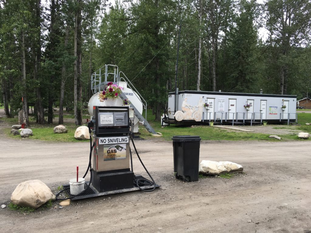
The ALCAN highway was built for military purposes during WWII. Originally it was gravel with endless ups and downs and turns (reportedly to make it difficult for enemy aircraft to strafe American military convoys on the road). Later it was straightened out and paved (mostly). But it remains a wilderness populated by many animals and few services. When you come to one, you are reminded to be appreciative:
Corner 6:
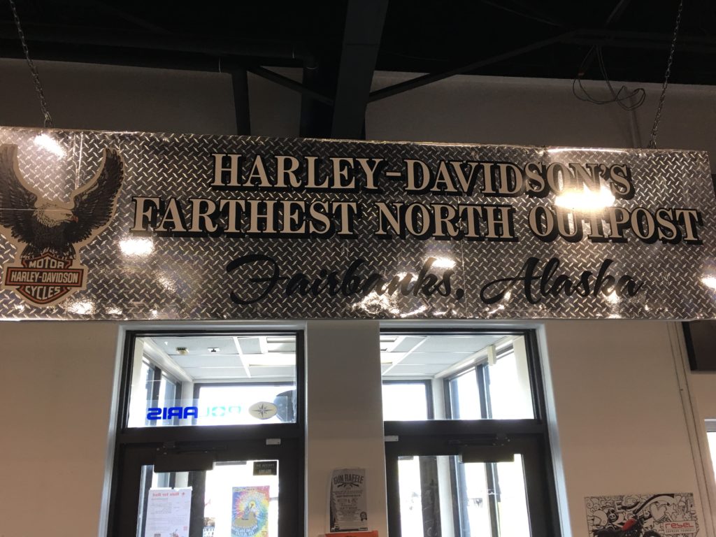
Fairbanks is, effectively, the capital of northern Alaska, far removed from the official capital of Juneau, which is not even reachable by car (it’s an island). There a Harley dealership lays a unique claim:
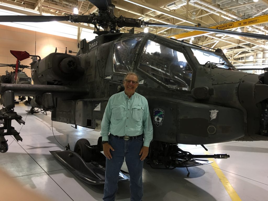
Fairbanks is notable for having two important military bases. The Fort Wainwright army base is home to a battalion of amazing Apache attack helicopters, which I was privileged to visit by as guest of an old friend whose son is one of their pilots.
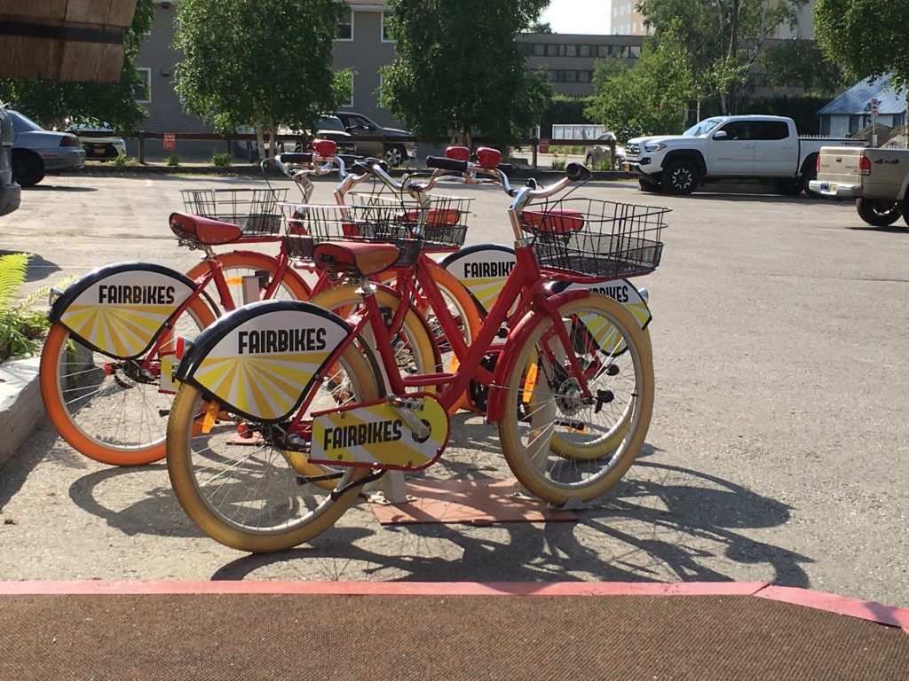
At the opposite extreme of vehicular capability, Fairbanks is also home to “Fairbikes:”
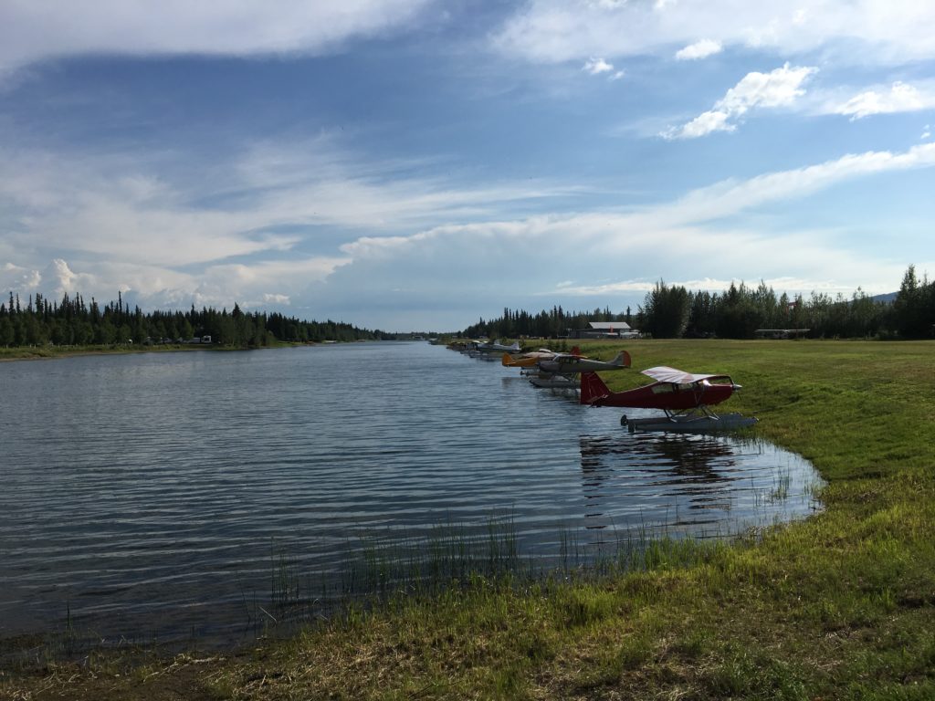
Bridging the gap between the Apache and the Fairbikes, Fairbanks is home to more seaplanes (and skiplanes) than anywhere else in America. Below looks like a lake but it is the edgewise view of a seaplane airstrip. You can see an assemblage of seat planes tied to the shore on the right side of the waters.
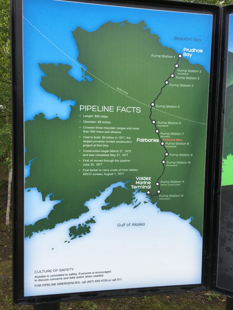
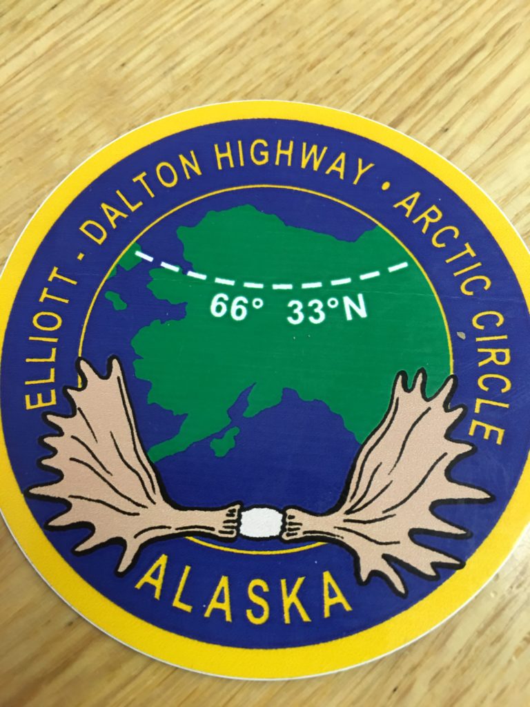
One can go further north of Fairbanks ultimately to Dead Horse on the Beaufort Sea following the Elliot-Dalton Highway. This road mostly unpaved and heavily travelled by large trucks carrying heavy equipment follows the Alaskan pipeline that extends from the Beaufort Sea all the way south to the seaport of Valdez Alaska (which I will visit on the next leg).
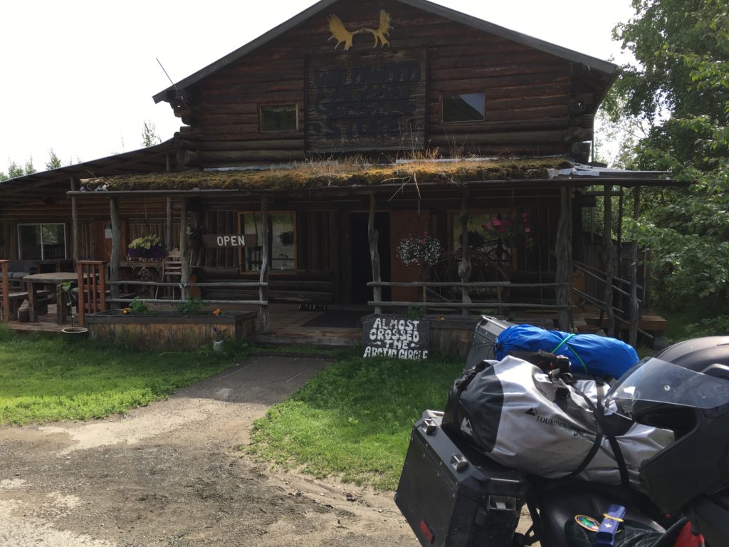
I went about 100 miles north of Fairbanks along the paved portion of the Elliot-Dalton Highway essentially to the Arctic Circle.
For comparison, the latitude of Key West Florida, Corner 1, is 24.6 degrees, slightly more than one degree north of the Tropic of Cancer, the place where the sun is directly overhead on the Summer Solstice (generally June 21).
Onto Homer Alaska here:
Return to 8 Corners Start Page here: