Leg 1, Day 6: Litchfield to Edwardsville
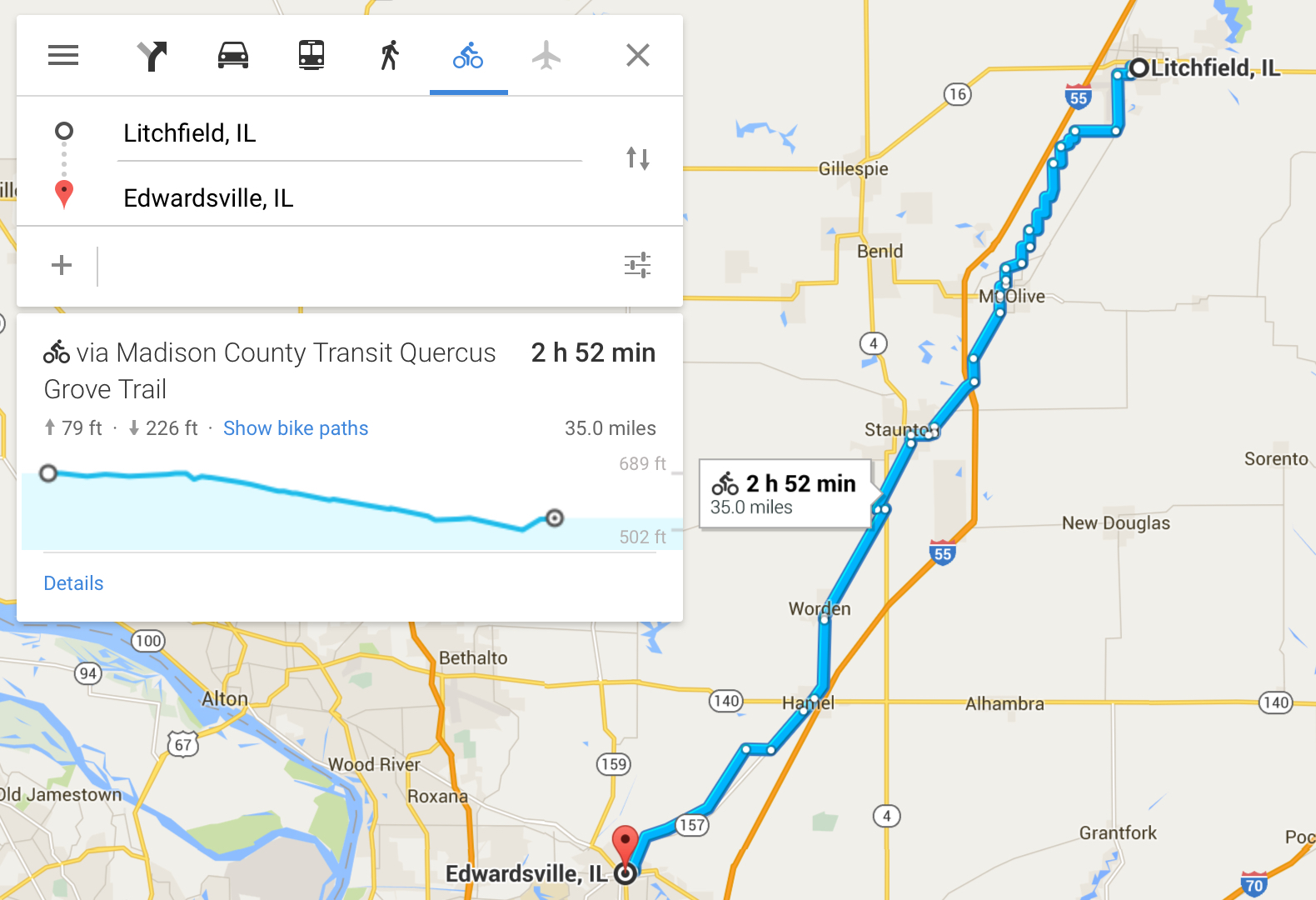
Cyclemeter App: Distance: 35.74 miles, Total 332.22 (93.8% of the way)
Departing our motel in Litchfield, our road trip crew (my wife Carol, and the smartest dog in the world) are there to send us off before checking out and jumping ahead us to find a place for us in Edwardsville, first floor, bike and pet friendly.
Carol with her doggie, Rosie, the smartest dog in the world (a Golden Doodle).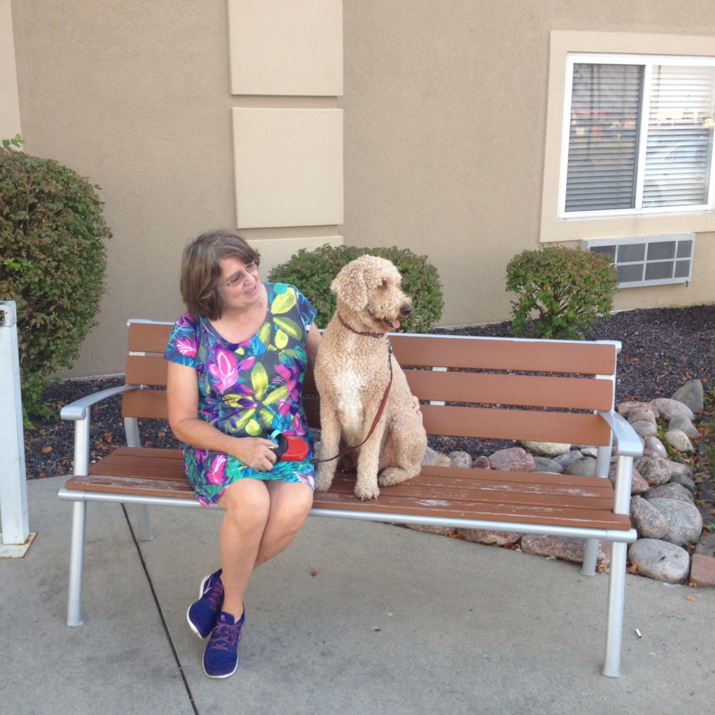
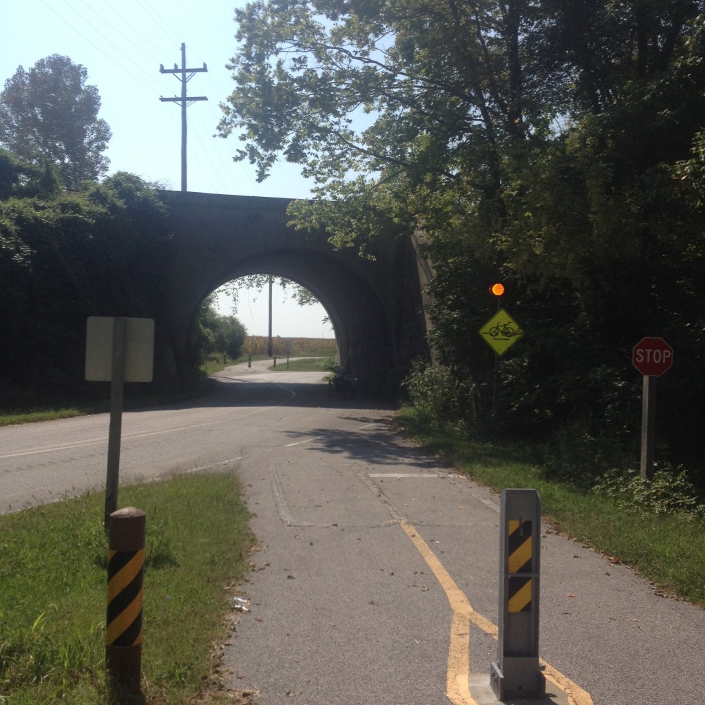
The road turned even more rustic:
We biked along endless acres of farm land.
Now well south of Litchfield, we again found a gorgeous trail. The railroad tracks to the left appear to be very lightly used. Perhaps we were riding here on a rails-to-trails of an even older and unused rail bed.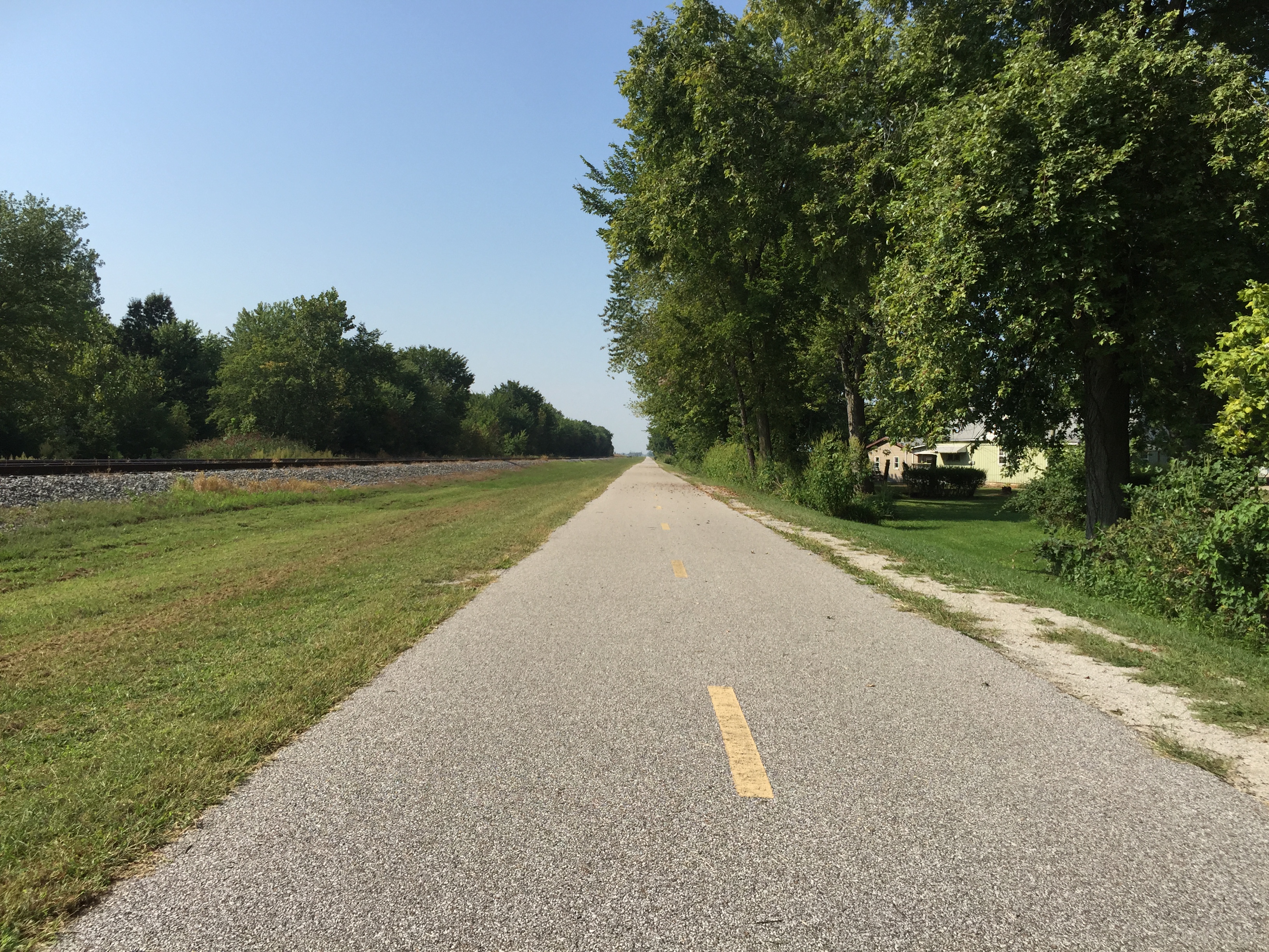
But, the trail ends. We took a side road, going east, then another going south, and in a few miles the trail reappears. One day this is all going to be interconnected and a spectacular ride.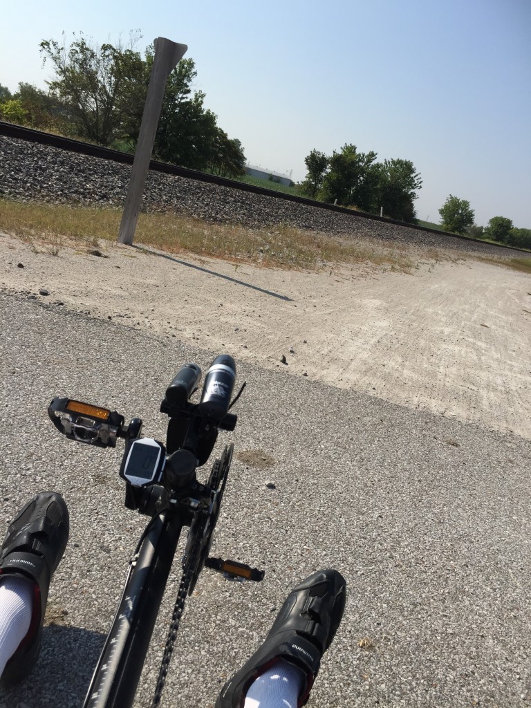
Google redeemed itself below. It suggested this county road as a bike route south. It must have been a very very old road, as it has not been paved, or used, in a very long time, and it’s strictly single vehicle wide. (We never saw another vehicle on it).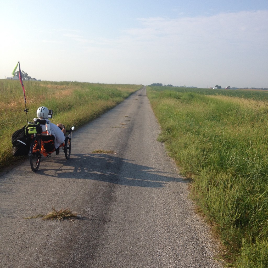
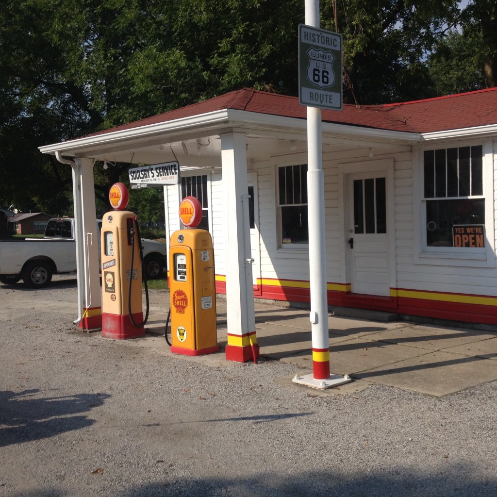
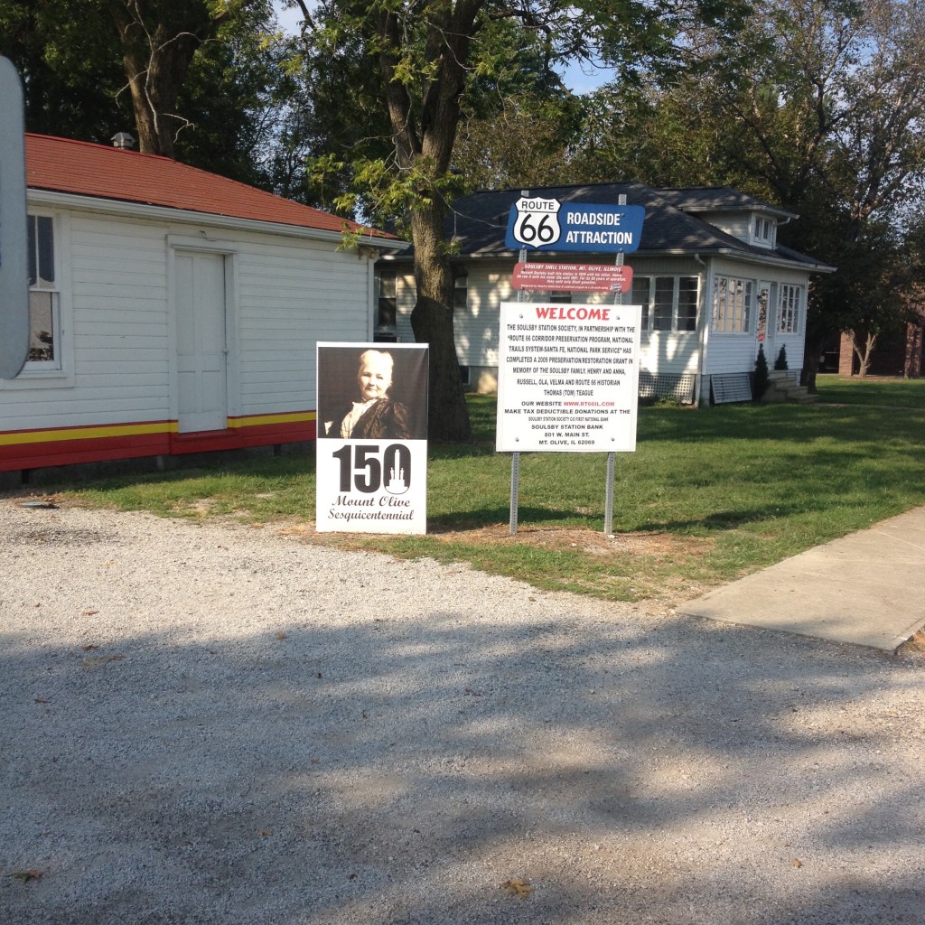
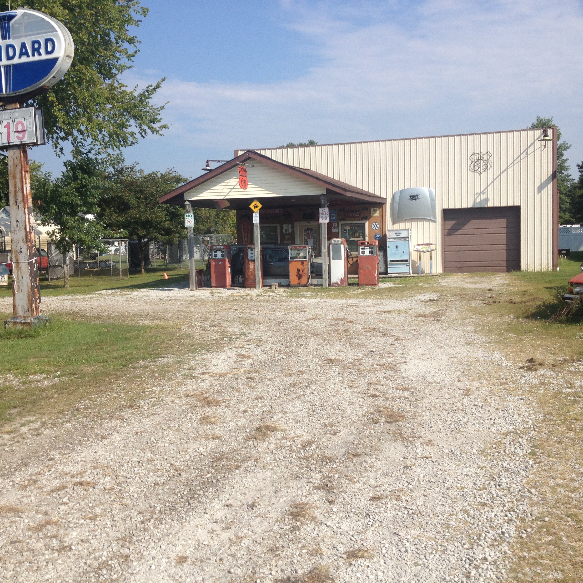
On the south side of Mount Olive, Illinois, there is yet another gas station from the historic days of Route 66.
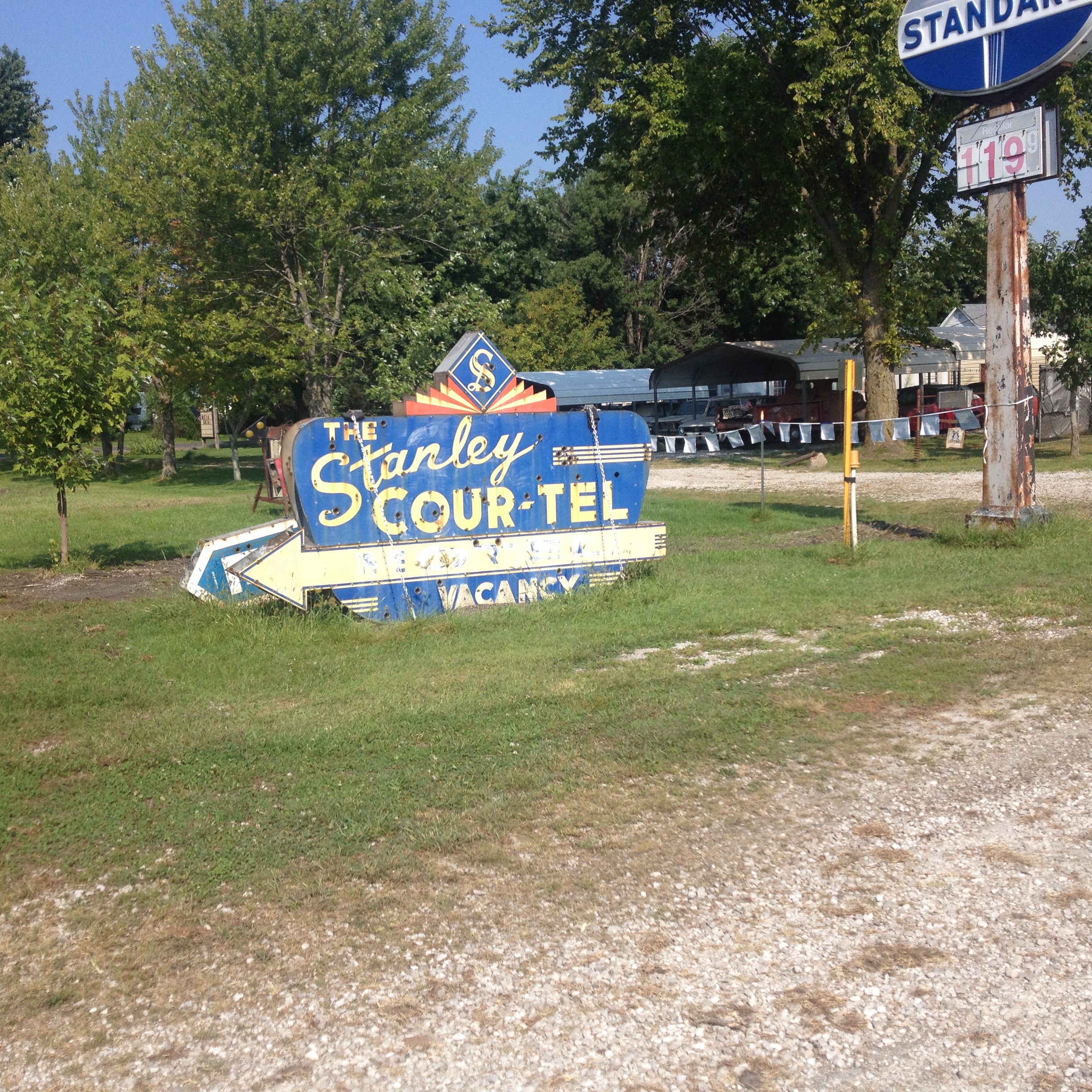
At a gas station stop, a local couple of bikers gave us a great clue on where to catch the excellent bike trail into Edwardsville: at the base of the water tower in Stanton, Illinois. On our way there we came across another example of historic Route 66 memories.
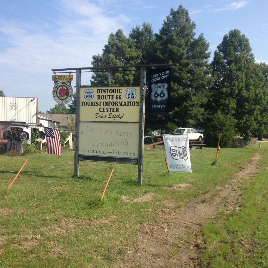
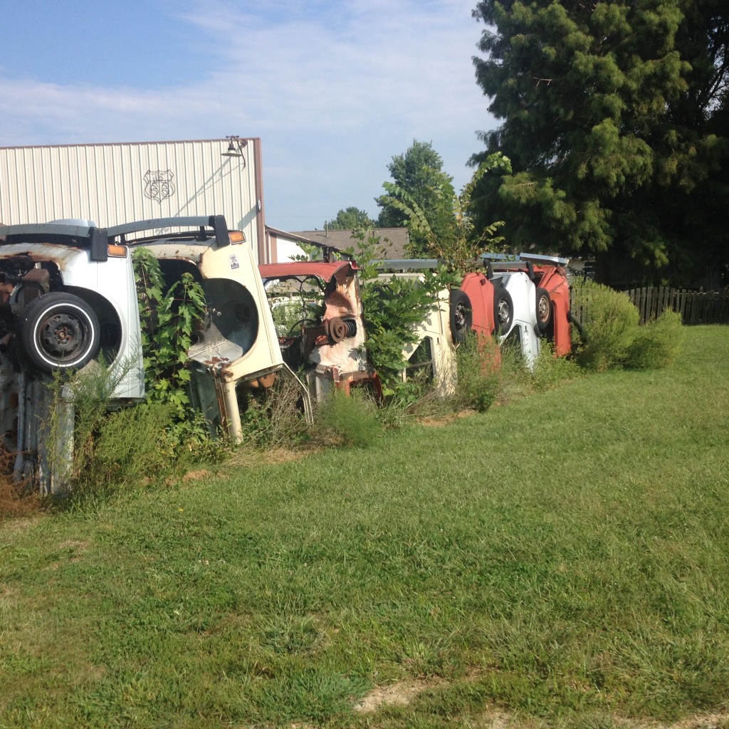
On an entrance sign, it said the establishment raised “hares.” It appears that was a joke as the old gas station, and the adjoining old motel and land, was well populated with old VW Rabbits. Must be a story there.
We found the trail in Stanton, and headed south to Hamel.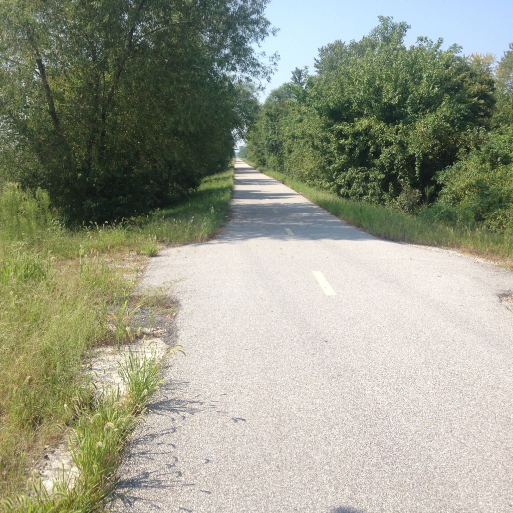
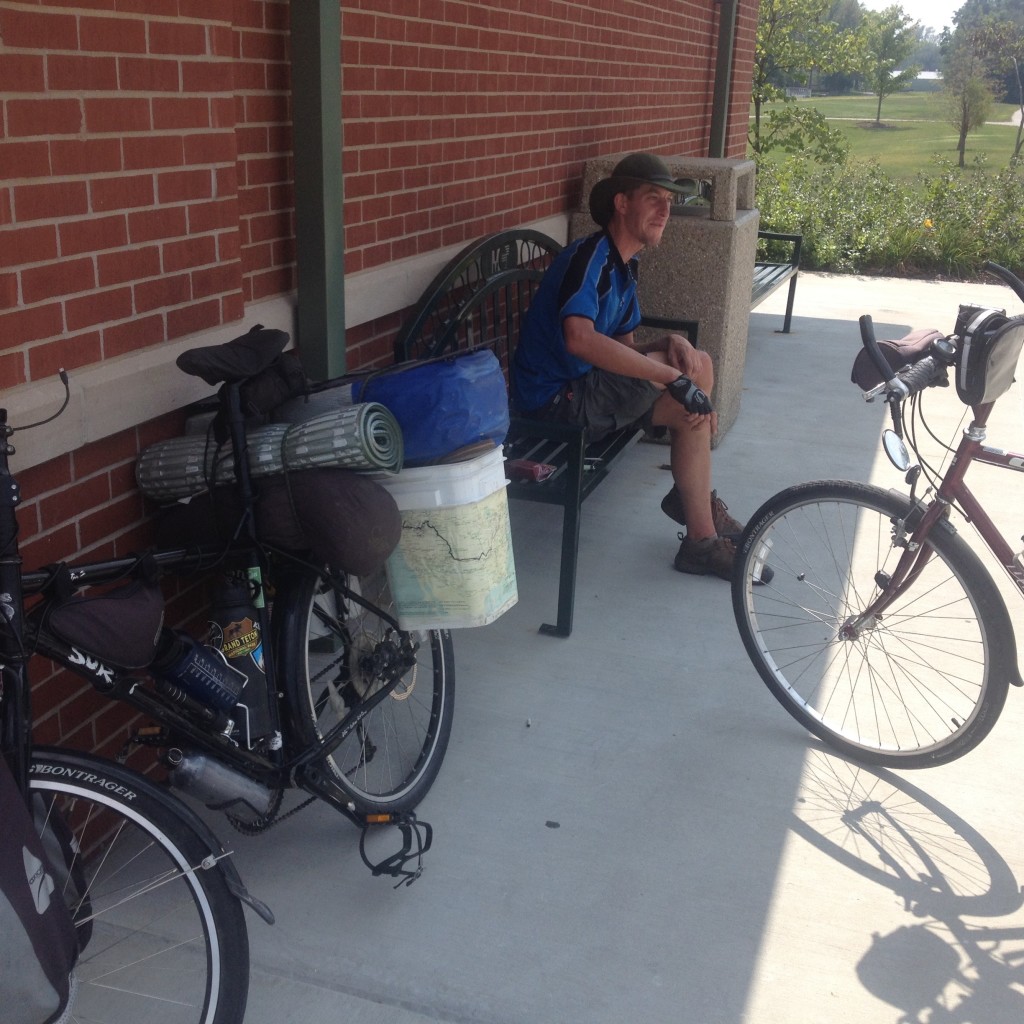
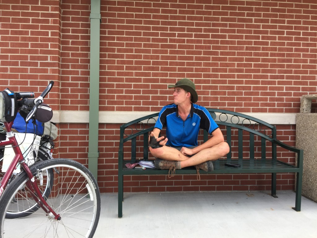
By the end of the day, we were taking breaks every hour or so.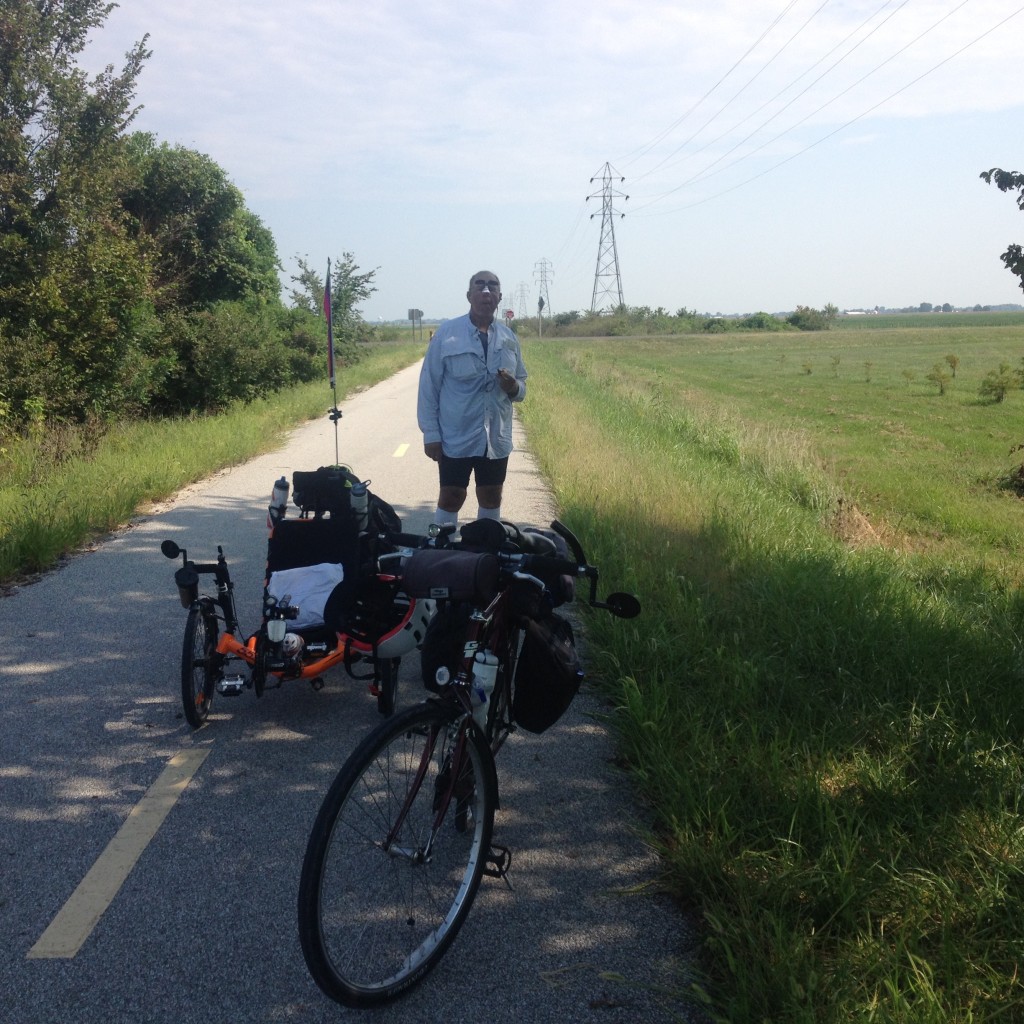
The paved portion of the trail ended, but the gravel was hard packed and easy to ride.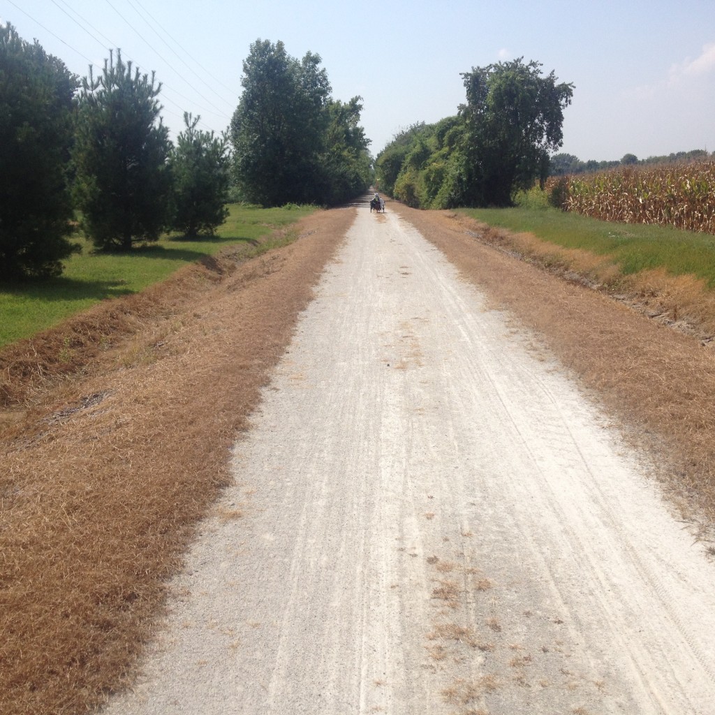
Then, the trail went from gravel to pavement.
The trail must follow an old railroad, as there looked to be an old, small town train station, now converted into a rest stop along the bike trail. There, we met Ben Kincaid. Ben was enroute, going east, having gone 4000 miles of a 6000 mile bike ride from Portland OR to Portland, Maine.
Below is a picture of Ben’s vehicle. He ordinarily camps at night.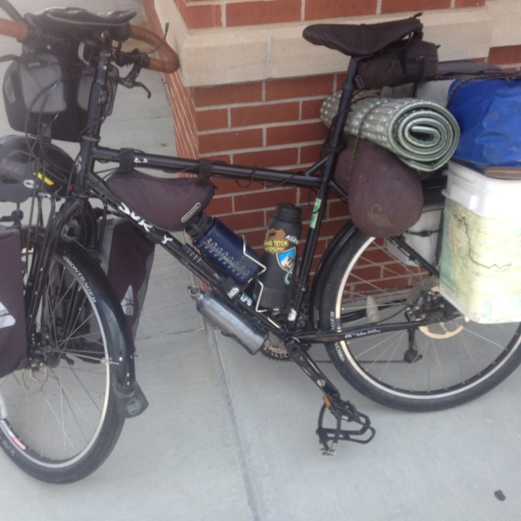
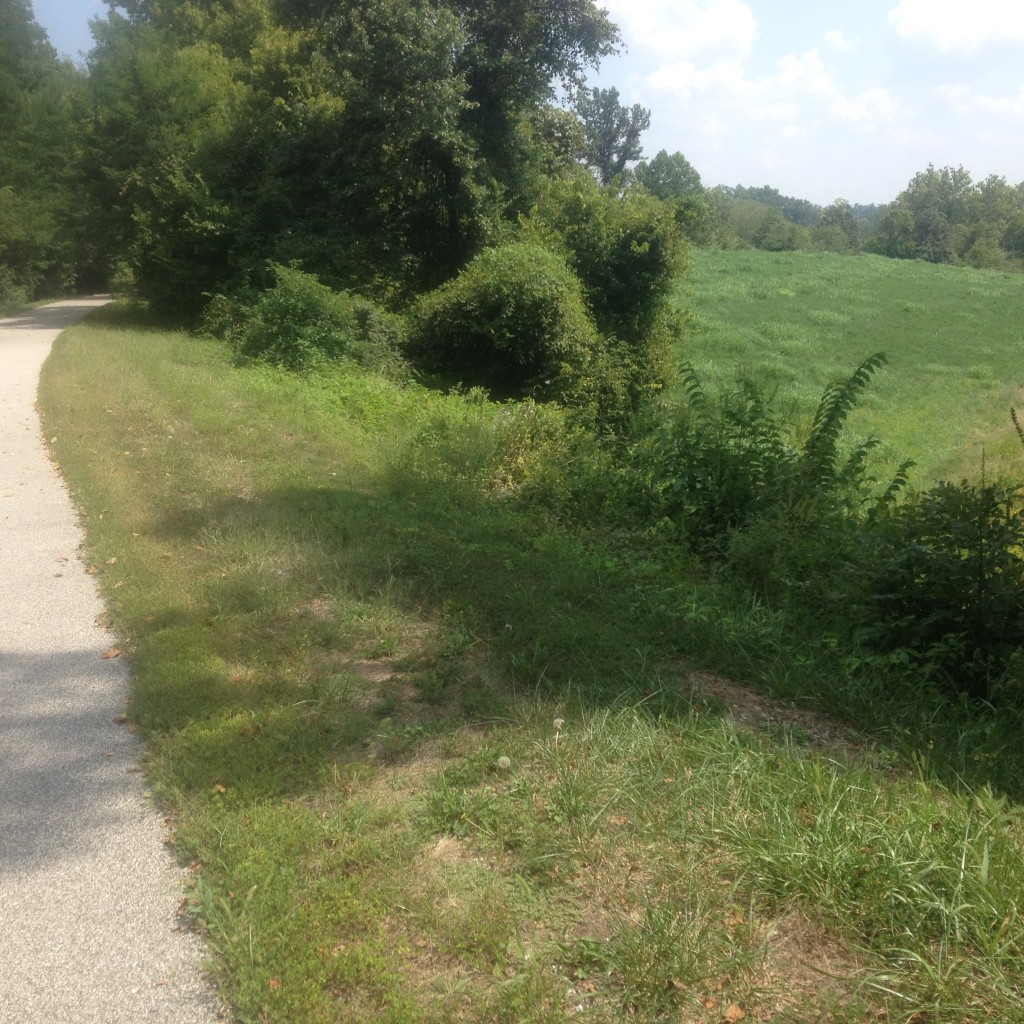
The trail continued south into Edwardsville.
Our final motel of Leg 1, in Edwardsville, was right next the bike trail.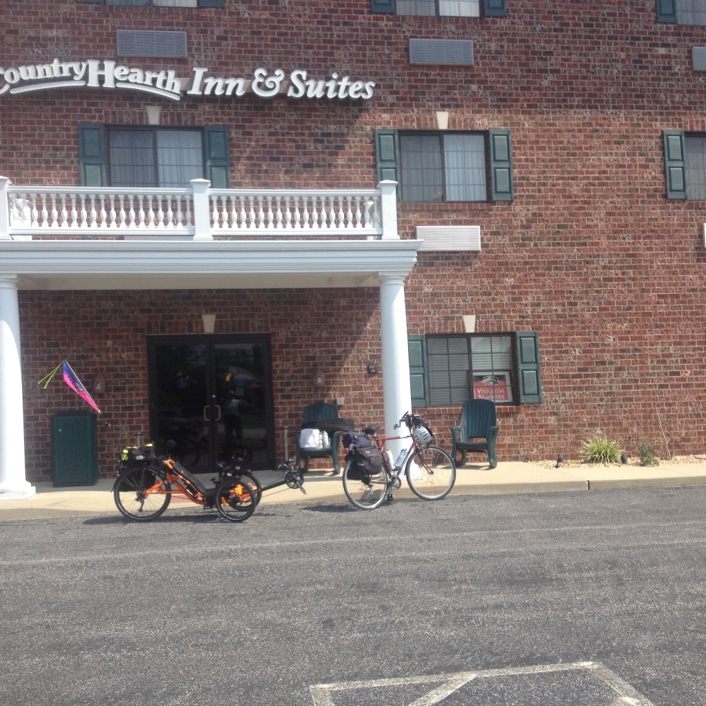
Day 7 here