Leg 1, Day 7: Edwardsville to St Louis, and the Gateway Arch
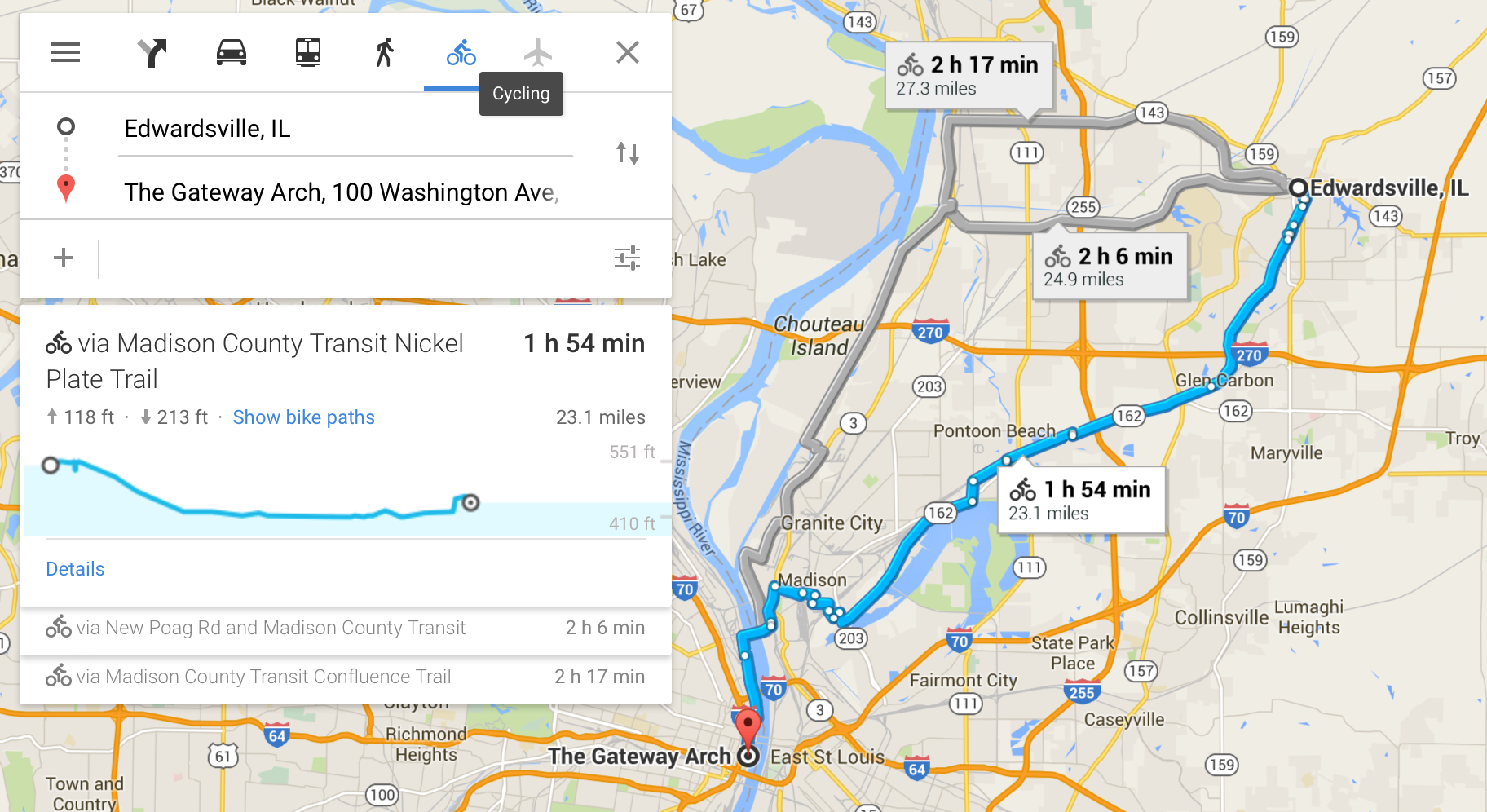
Cyclemeter App: Distance: 22.13 miles, Total 354.35 (100%!)
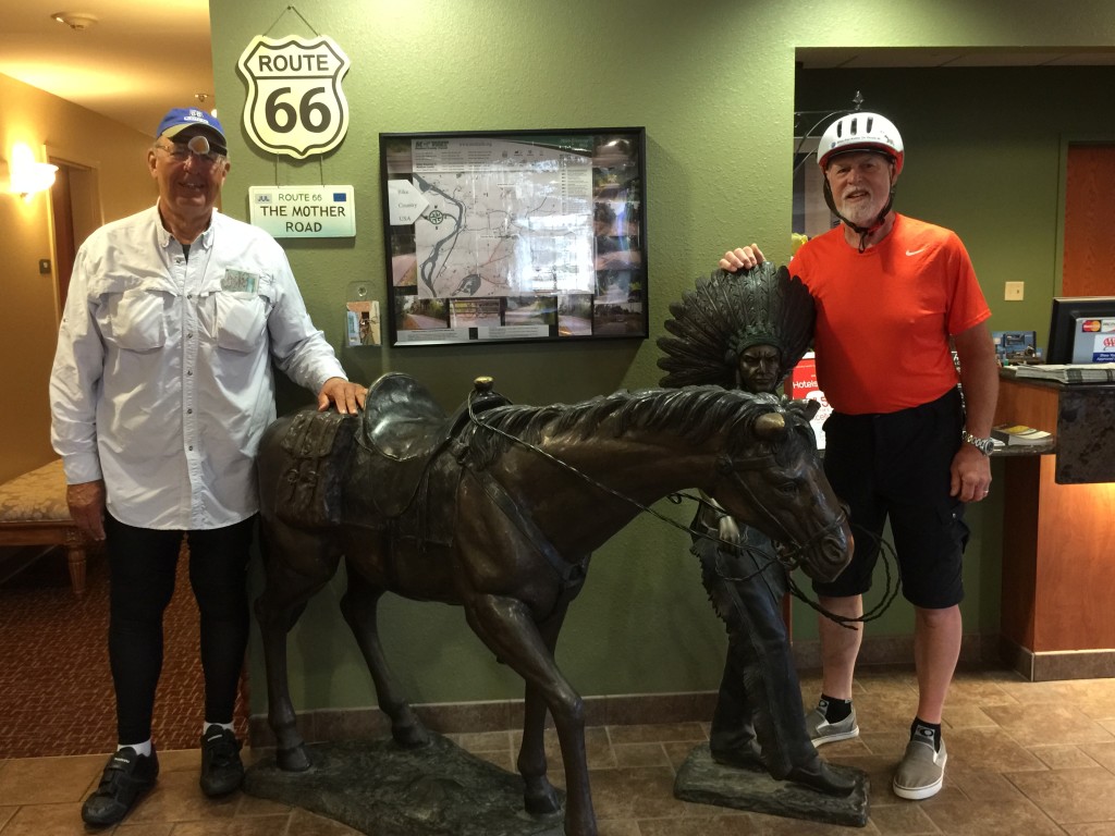
Many of the places we stayed were Route 66 oriented. This is the lobby of the motel as we departed for Day 7 and our final day. The motel was on the south side of Edwardsville, hence a little closer to St. Louis than the distance shown by Google maps.
Bike trails end, and the end of Illinois requires traversing the town of East St. Louis on its streets. City side streets provide a great contrast with the hundreds of miles of corn and bean fields now behind us.
The church sign below reads: A Spirit Led and Bible Church. Amen, brothers.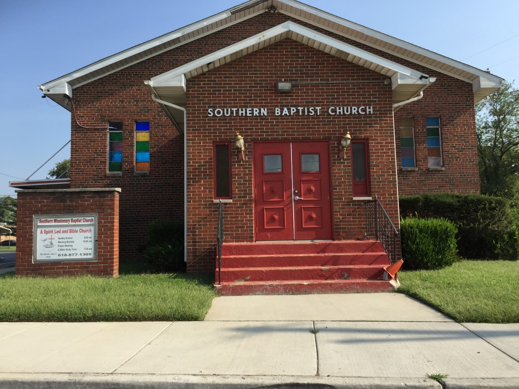
The sign on the church below: Jesus is the Subject. Double Amen, brothers. These churches, however modest in size, are like little harbor lights, just like their big city kin, shining their light in an otherwise dark place.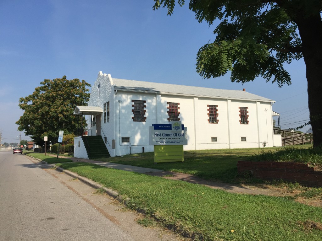
After East St. Louis there are various bike trails but no clear signage that says “this way to the arch.” Hence, we end up overlooking a gravel pit surrounded by signs that say “do not enter” or else.
The trail crossed the Mississippi on the McKinley Bridge, which had a nice bike lane, conveniently on the south side, facing St. Louis, about 5 miles away.
Our bridge across the Mississippi River, and into Missouri.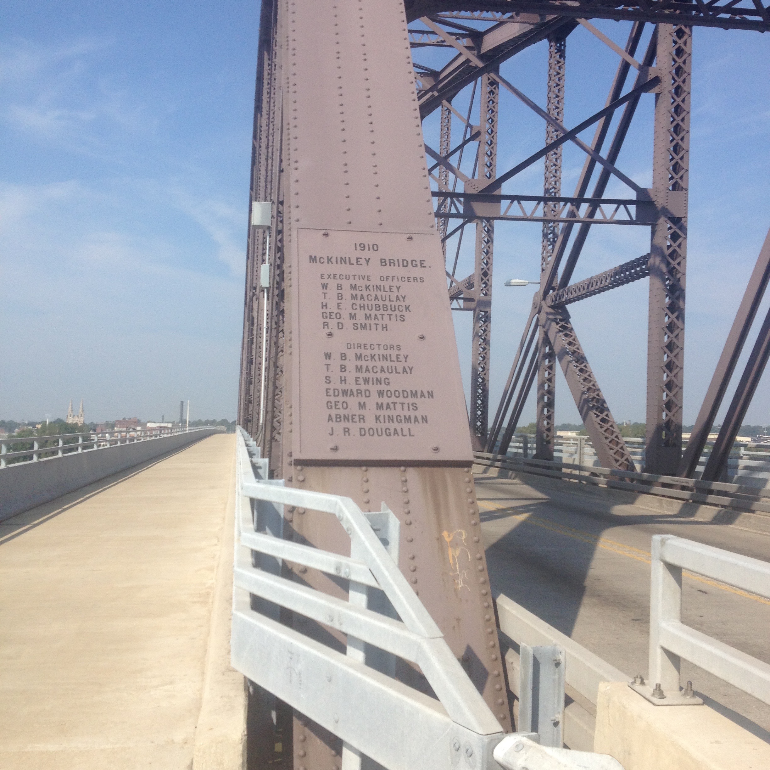
The view from the McKinley bridge looking south toward downtown St. Louis. The Gateway Arch is just visible to the right of the right bridge pillar in the distance.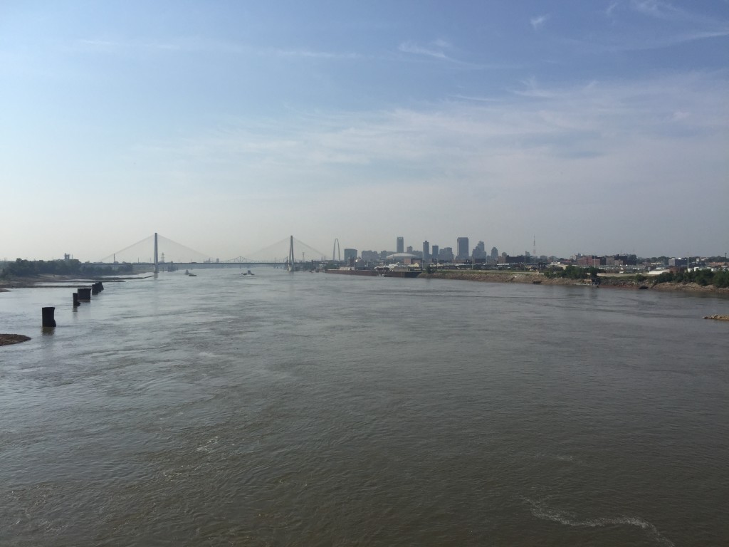
Two happy bike warriors, on the bridge with the goal in sight.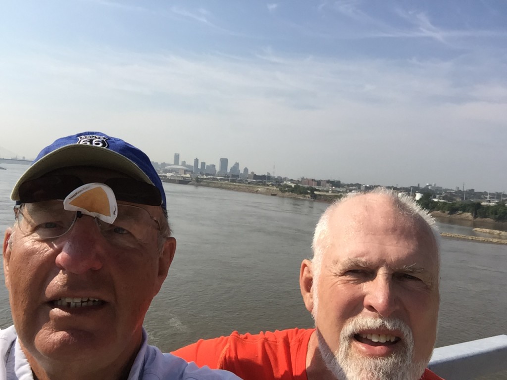
The view from the bridge:
After crossing the bridge, there is a very impressive bikeway curving toward a path along the Mississippi River on the MO side:
The deluxe path turns into what looked like an industrial road along the very old St. Louis waterfront. There was lots of construction going on. The plan appears to be to create a biker, walker friendly area all along the river.
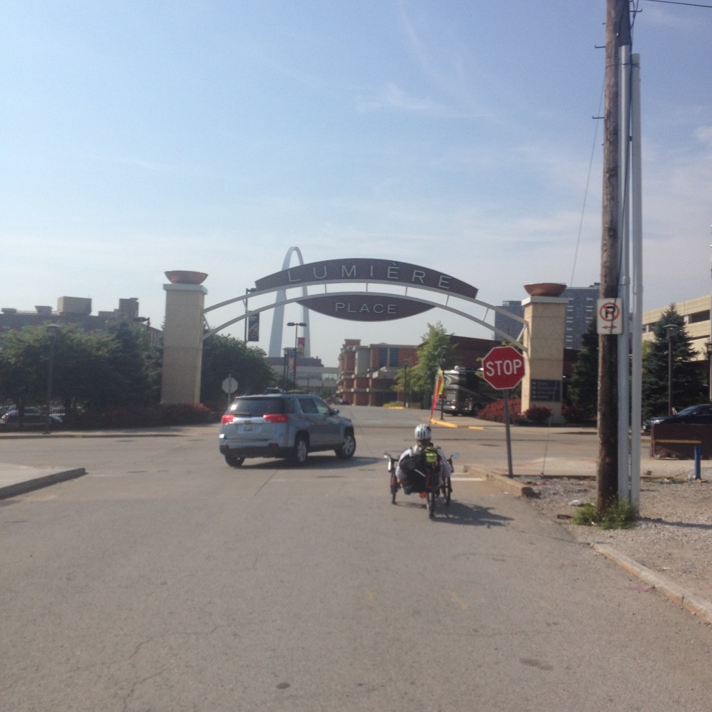
Then it turned into a city street entering Lumier Place (whatever that is):
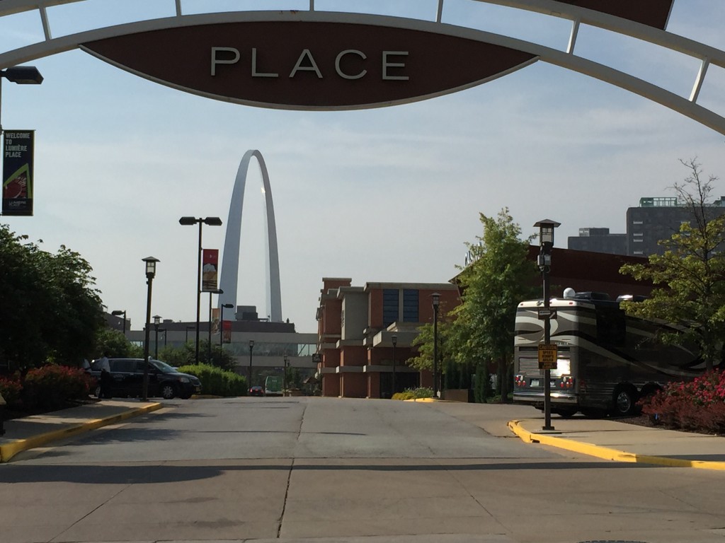
As it happens, the trail ended by old unpopulated industrial streets whereupon is a world famous steakhouse, Al’s. I had eaten there once in the 1970s, and it was famous then. It is not far from where the Cardinals play baseball. But do not, do not, even think about walking there, or even driving your car and parking there. It is a safe cab ride, and a great dining experience (I assume still).
The streets turned a little more charming for the final blocks before the Arch but required navigating old, narrow, steep city streets.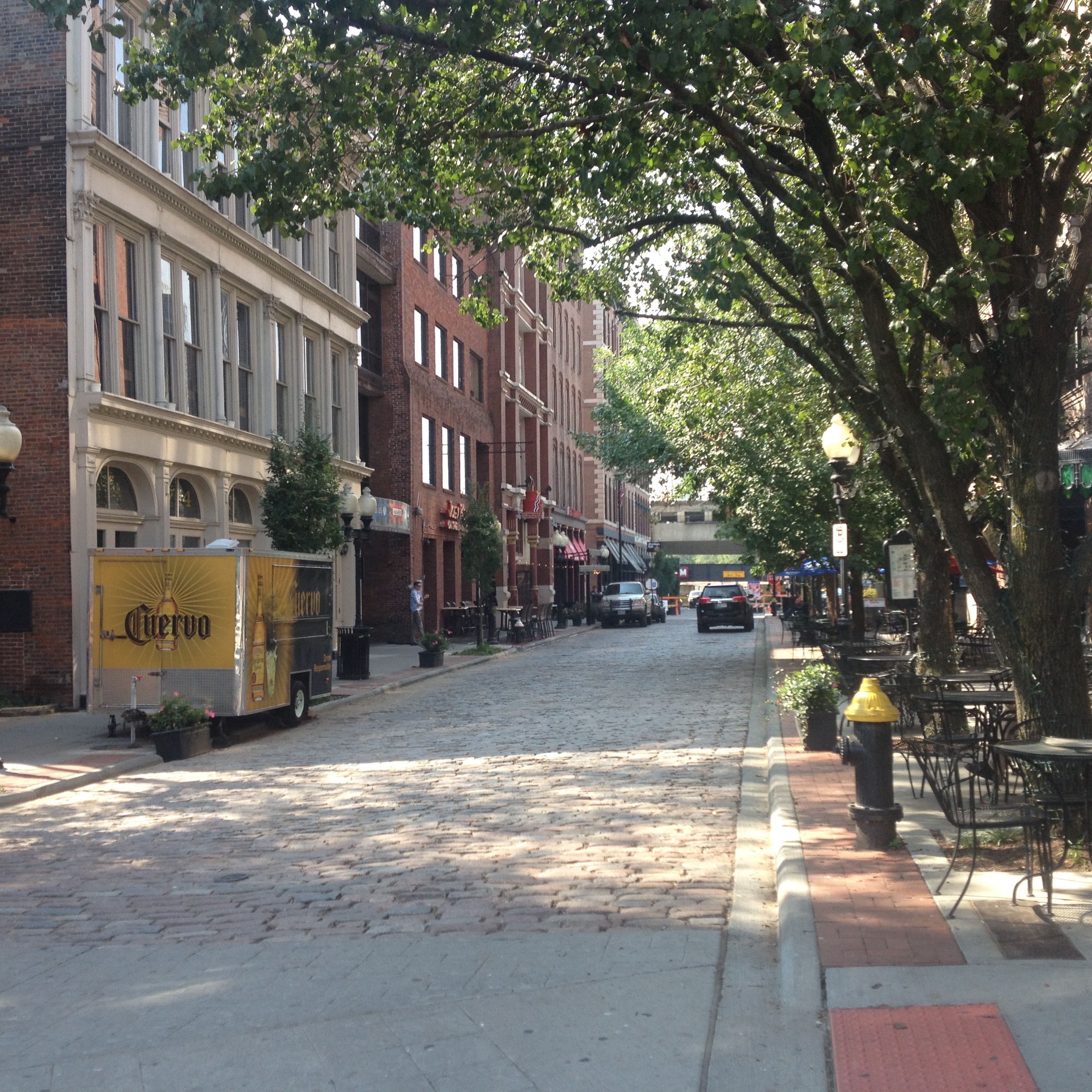
Dramatically overlooking the Arch, and the Mississippi, is the famed Courthouse, here reflected in the mirror glass of an adjacent building (where I once participated in a suit and tie business meeting looking down on where I now stood…little had I then knew…).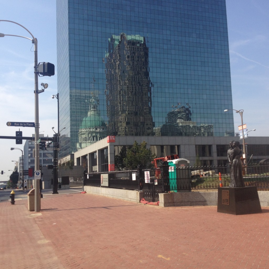
The Courthouse, made famous by the Dred Scott case.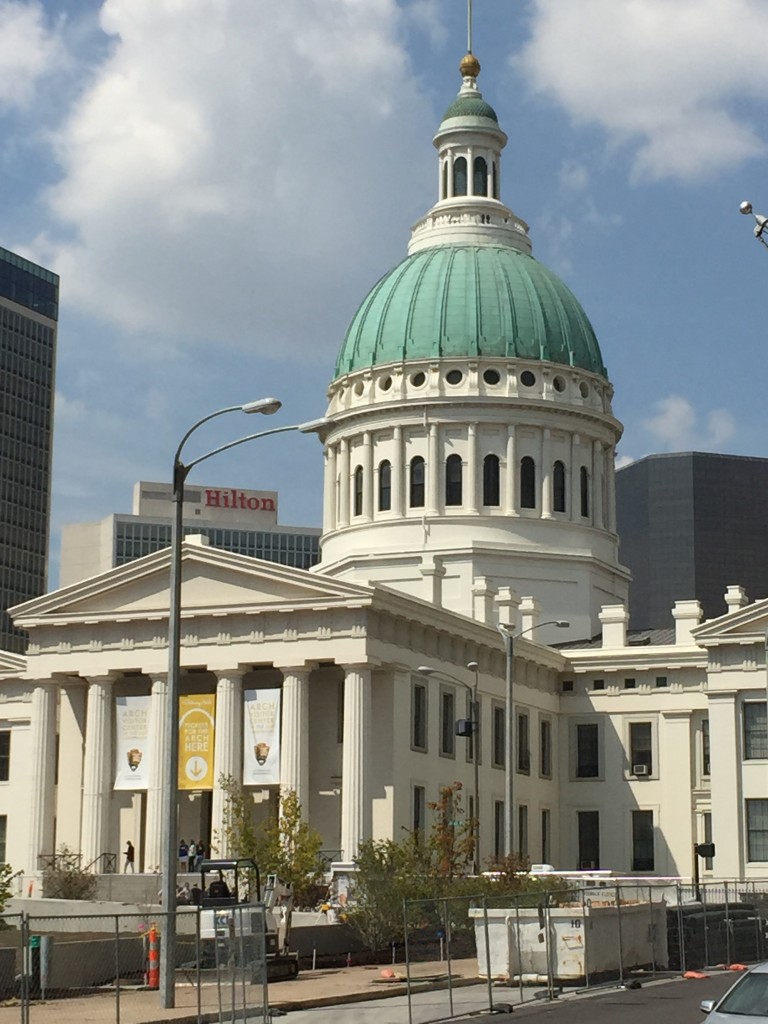
A memorial to Dred Scott and his wife Harriet who brought suit against the Federal Government for the right of a once slave and now free man to be a citizen.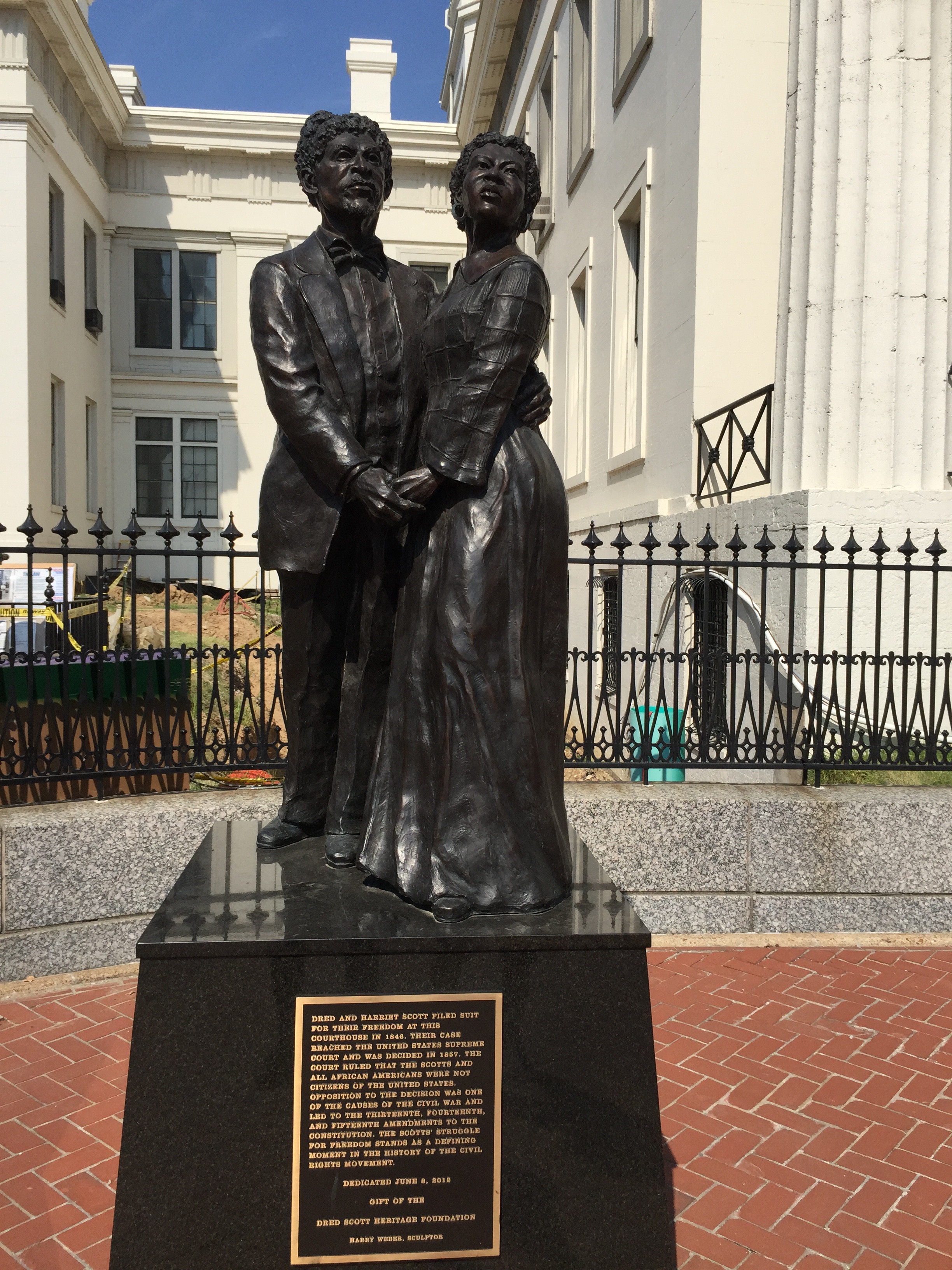
Final Destination! 354 miles, 7 days, and a wonderful experience. The now well-worn ACA bike map for Leg 1, Chicago to LA, is still in my shirt pocket, having served us well, sharing shirt pocket space with my iPhone tuned set on the handy Google maps bike icon.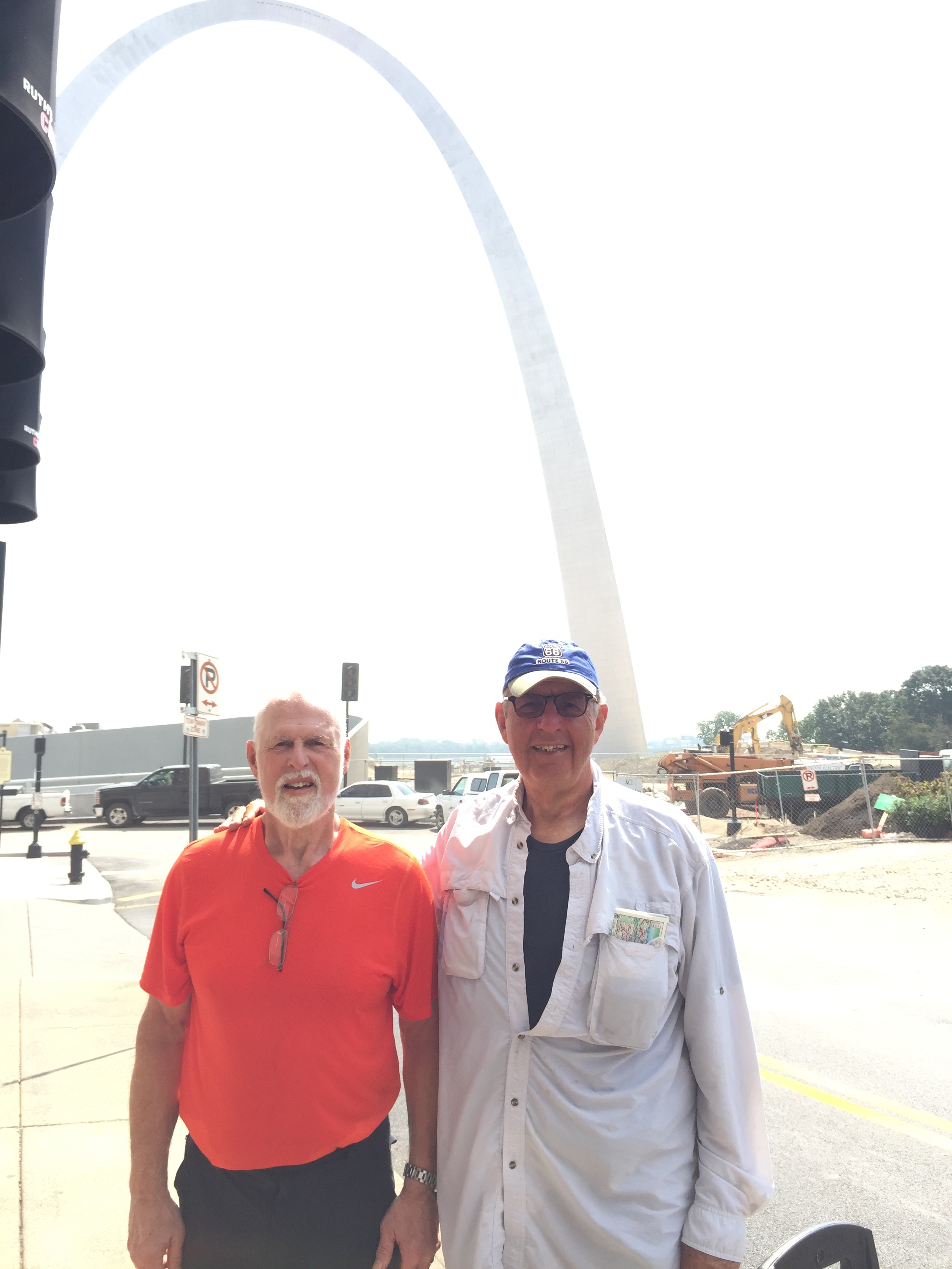
Back to start of Leg 1 here
To start of Leg 2 here
To site Home here