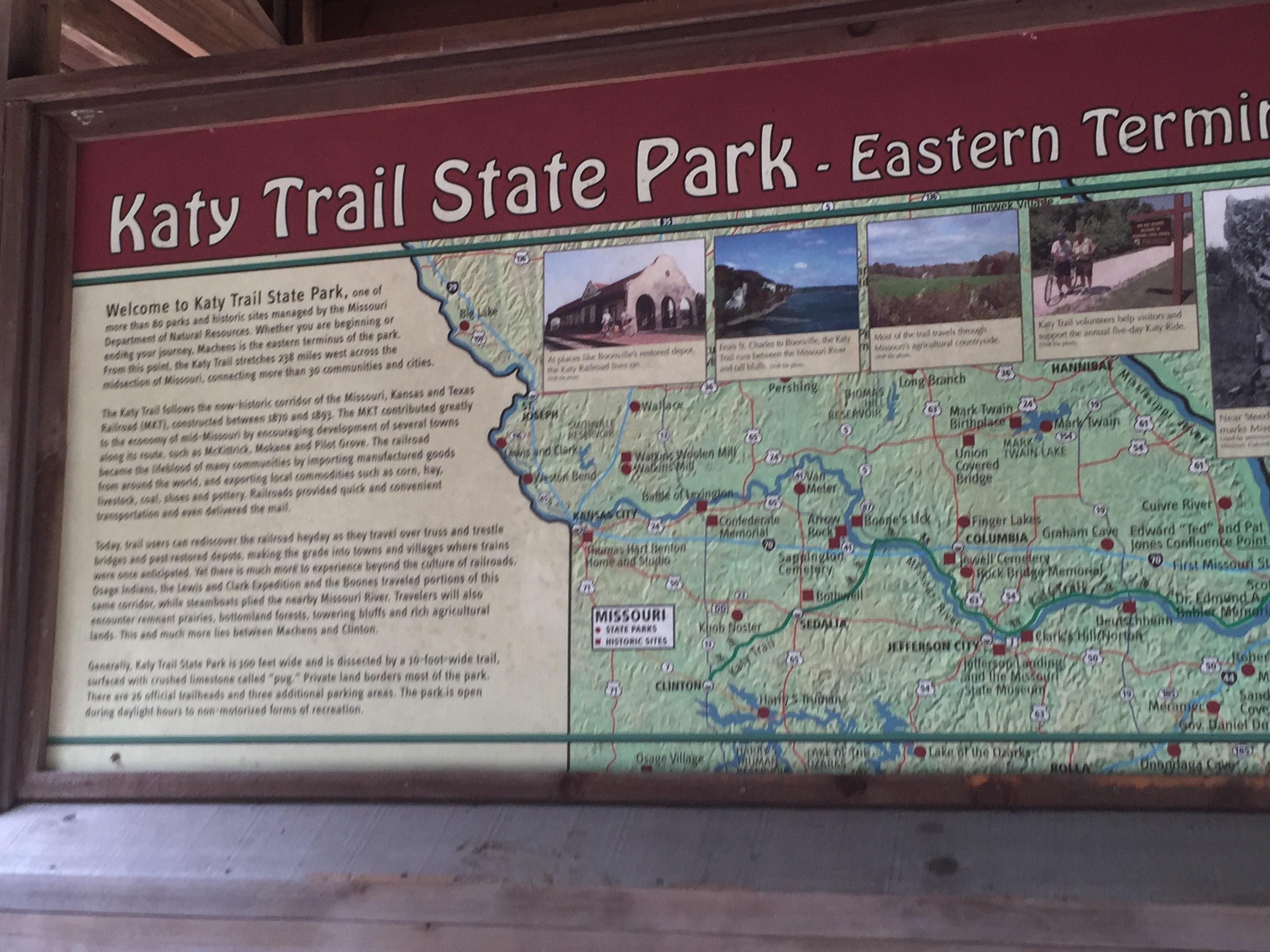
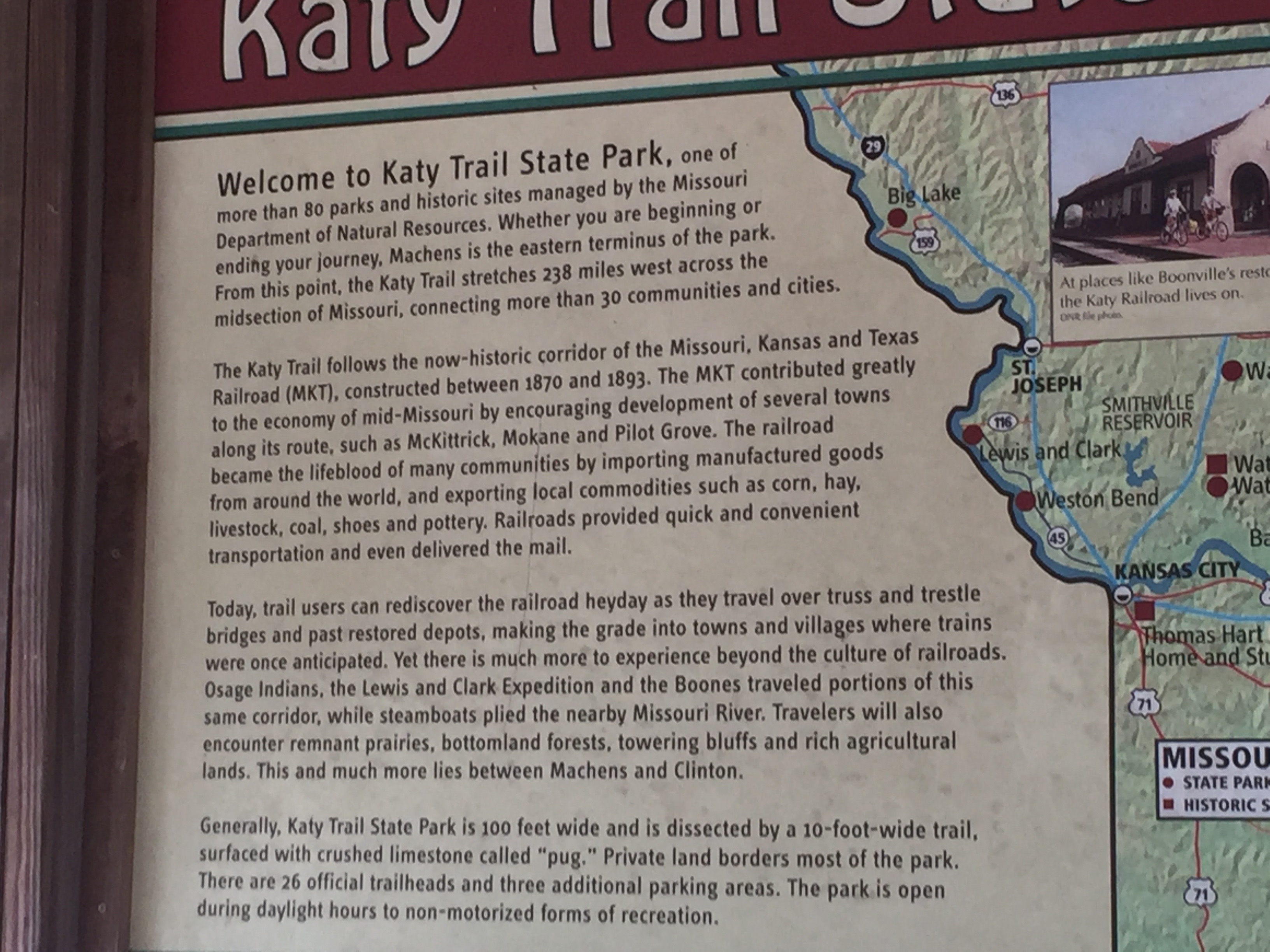
The Katy Trail begins officially in Machens MO at Mile Marker 27. However, there is no obvious way to get to that trailhead, and there are no facilities in the area.
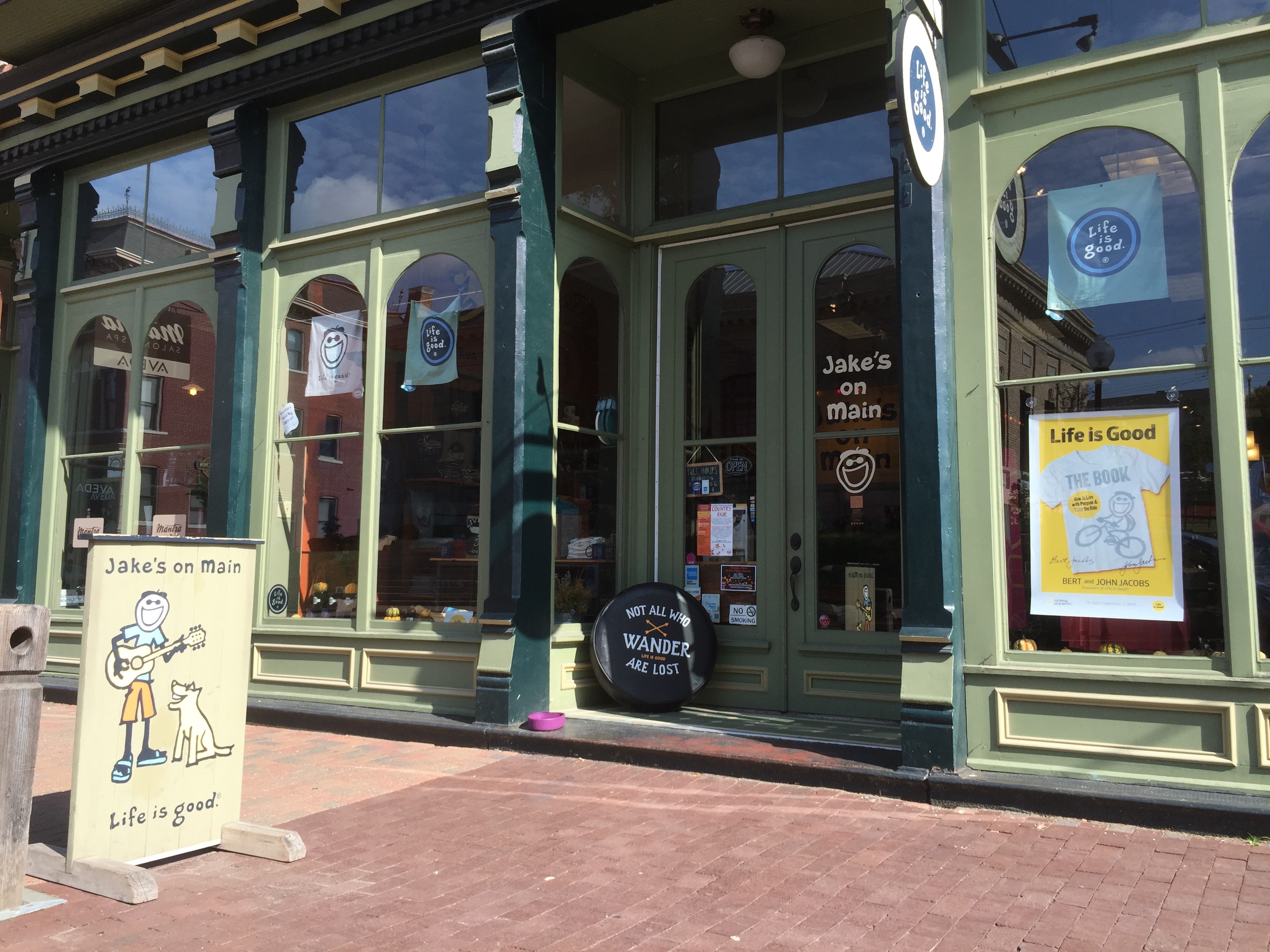
St Charles is, however, a terrific spot to begin the Katy Trail. It has a spectacular old, historic main street, known as “Main Street,” with many many shops of all kinds. And there are a variety of motels and B&Bs all readily accessible to the Katy Trail.
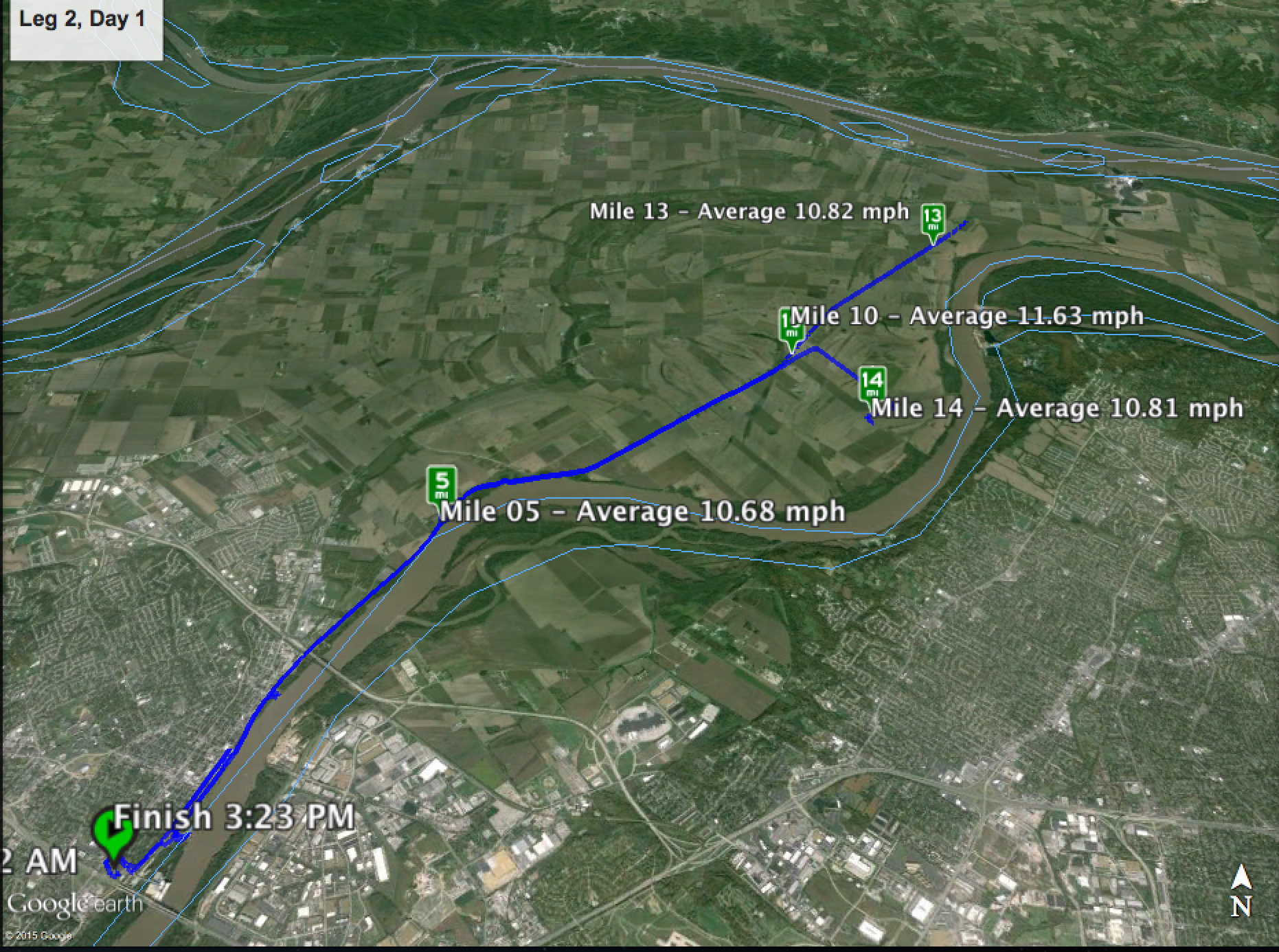
Thus, a nice introductory ride on the Katy is to head east from St Charles to the eastern terminus of the Katy at Machens, and then return westbound to whence one started. Depending on the side trips, it makes for a ca 35 mile day; mine was 37 miles.
Below is a map generated from the Cyclometer app used for the ride. As sometimes happens, for reasons I do not know, the app goes into a “stop” mode when it should not. Missing from the below map is about 7 miles starting at about Mile14 (approximately at Machens MO). Also a little confusing is that I returned the “Finish” in St. Charles where I began, so the route back overlays for a large part the route outbound. The horizontal lines near the top of the image demarc the Mississippi River. The Missouri River winds down from the upper right to the lower middle of the image.
Pictures directly below; videos are below the pictures. Additional accompanying narrative will be uploaded later.
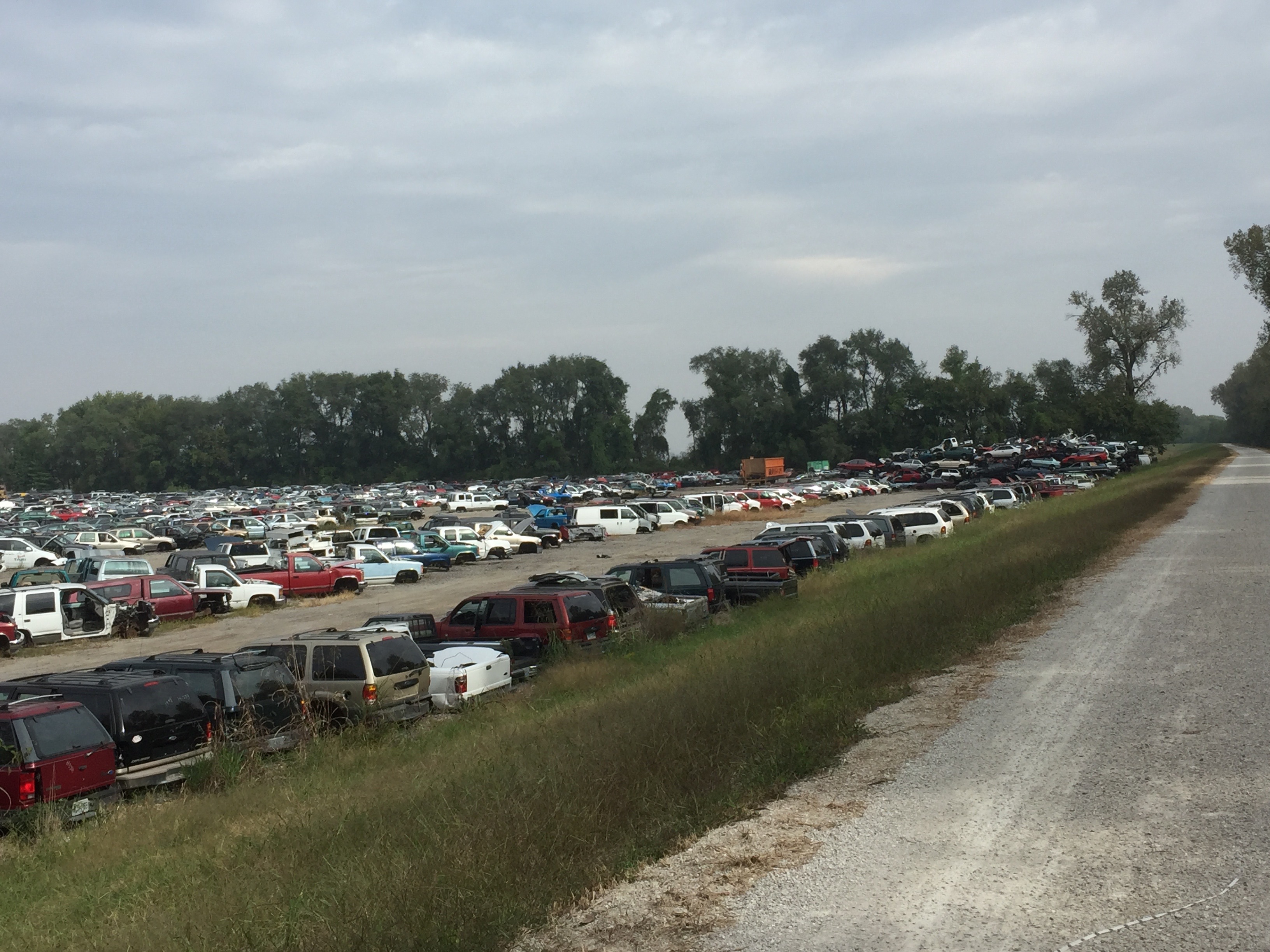
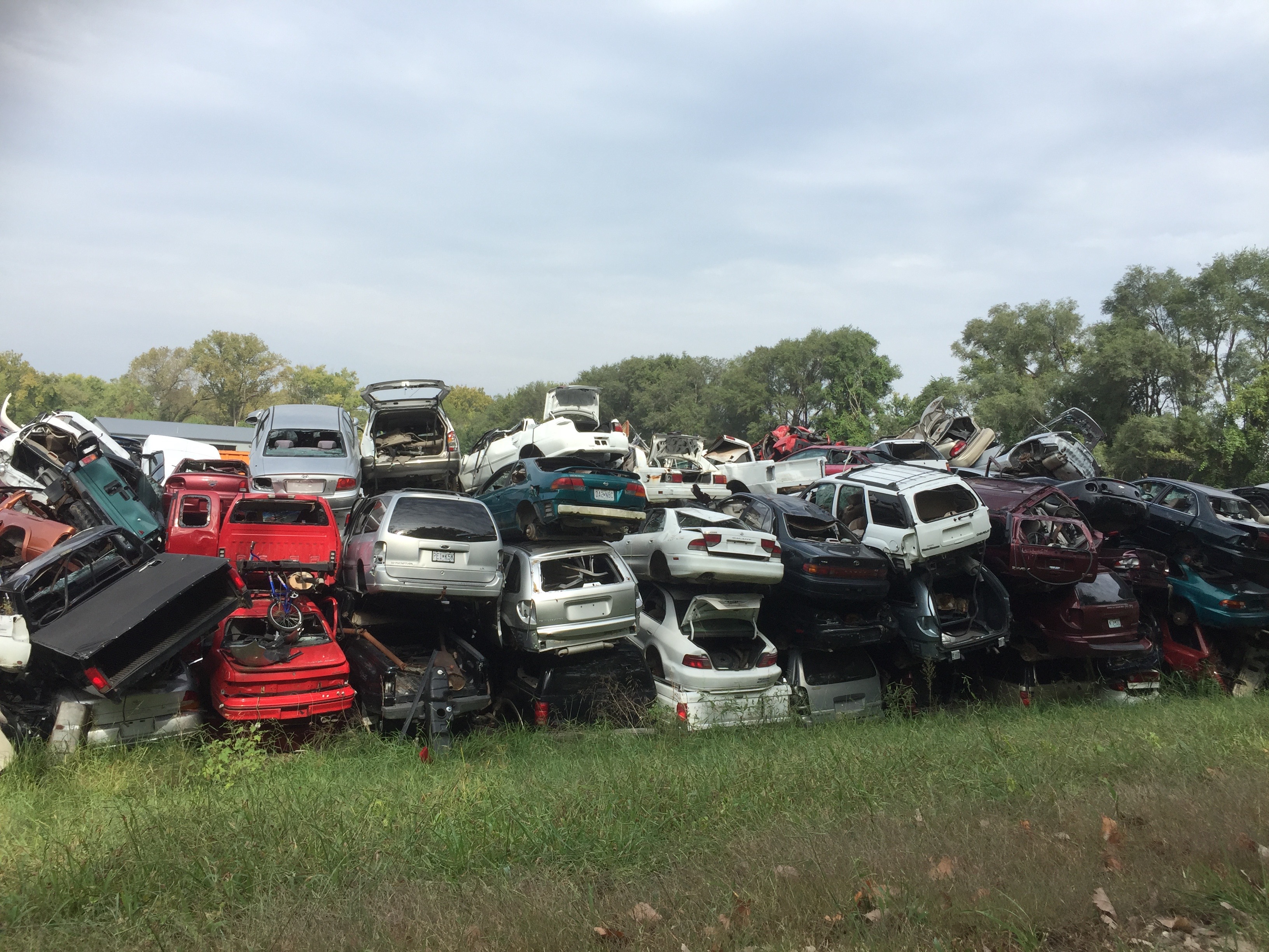
Going east from St. Charles, one of the first sights is a massive auto/truck junk yard on the north side of the trail, a field of broken dreams: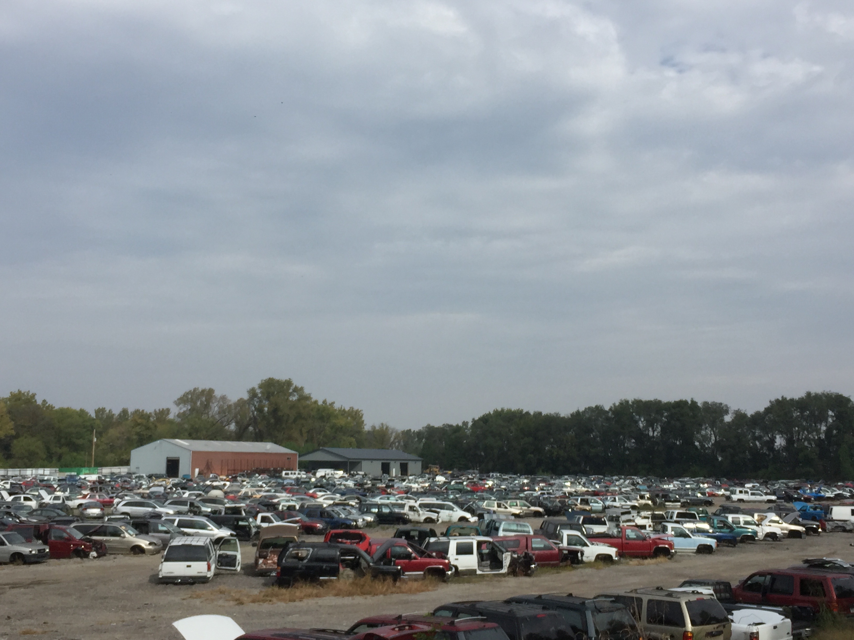
Parts of the trail are shrouded with trees and other vegetation into a beautiful tunnel-like feeling.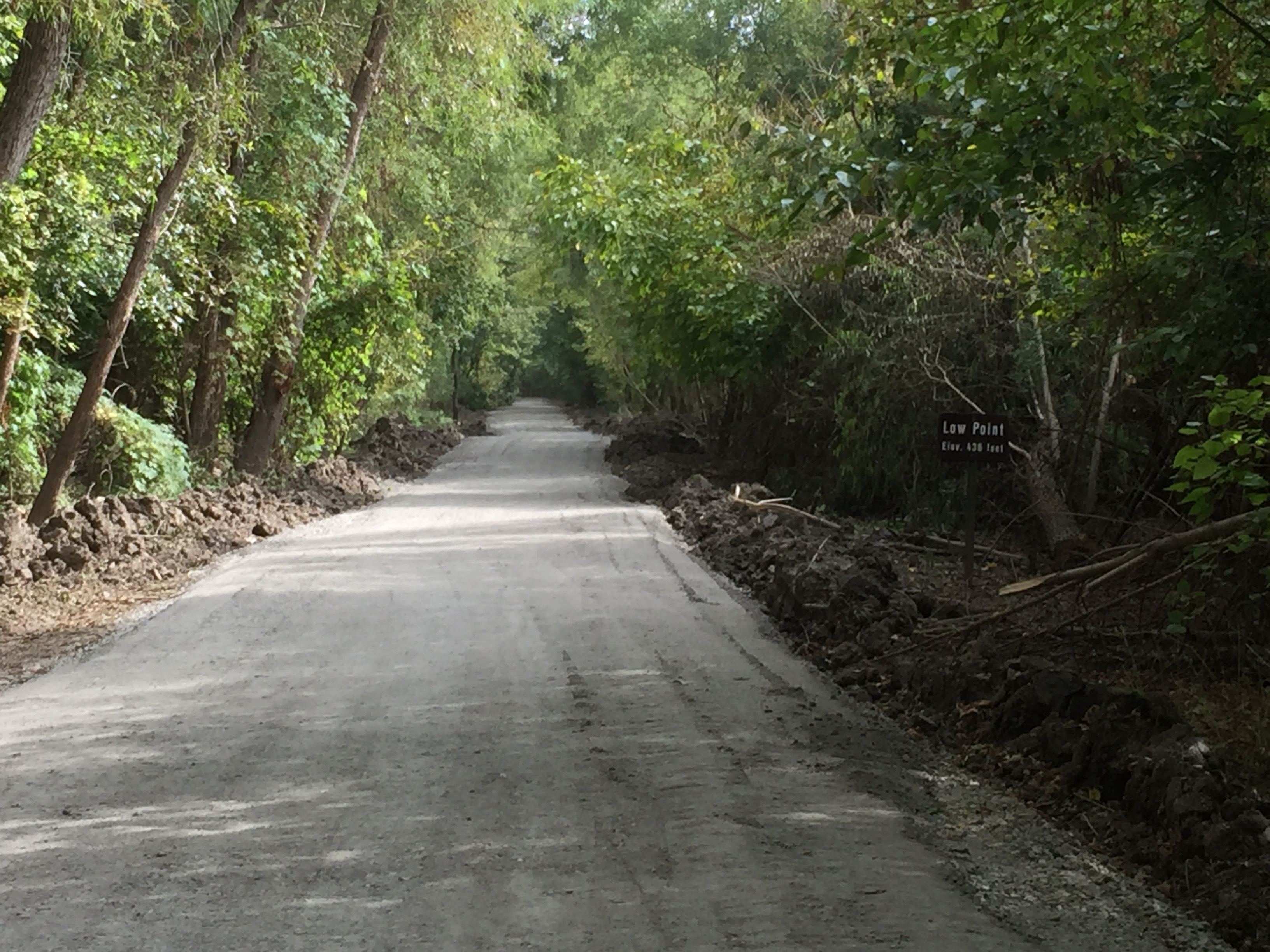
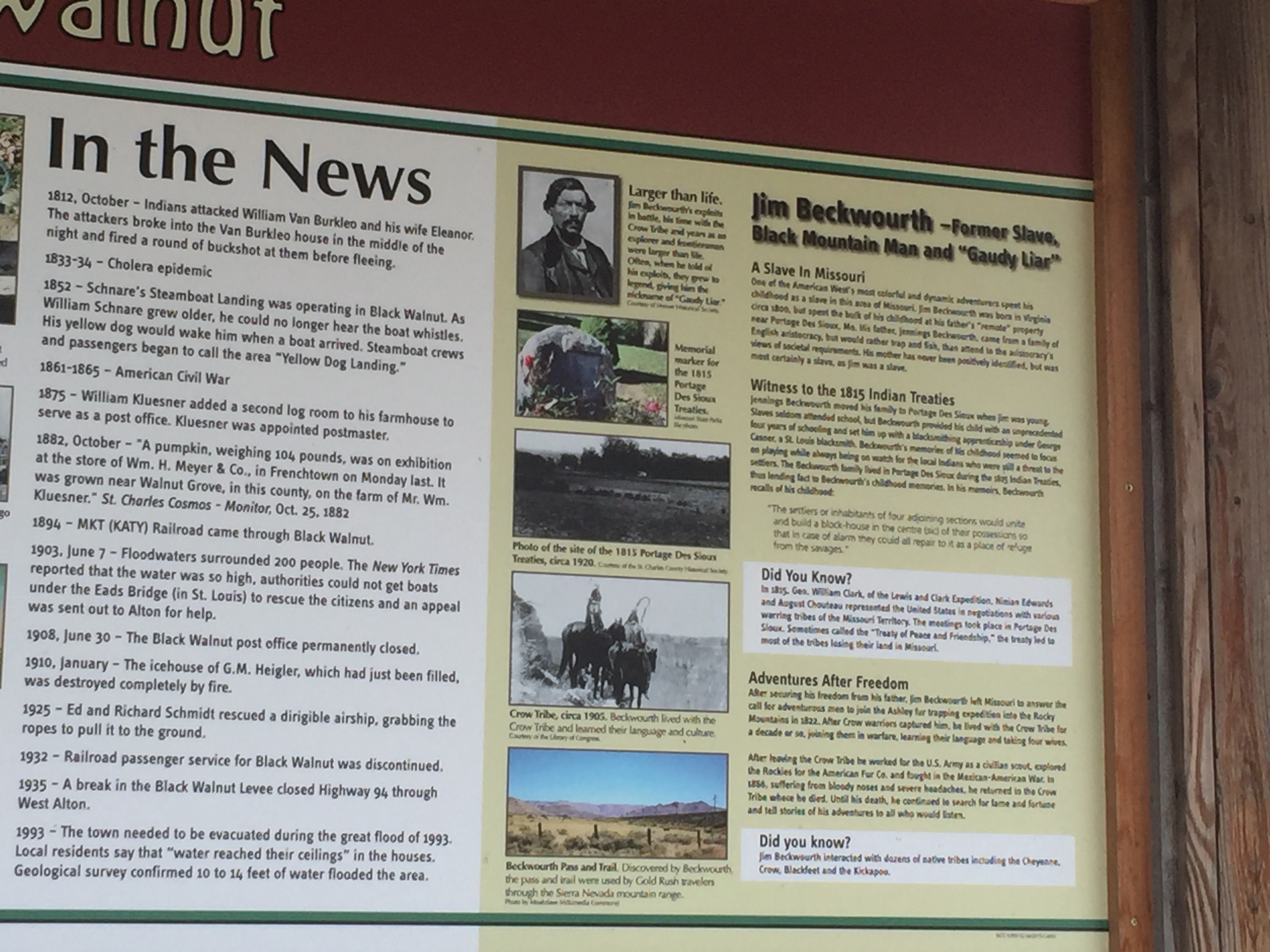
All along the Katy is a history of towns that arose and prospered during the train heyday and have now faded into memories. The town of Black Walnut is one of these. It is notable for bikes as it has a set of repair tools and a bike pump freely available for use, and secured from theft by cables (see the video later on this page).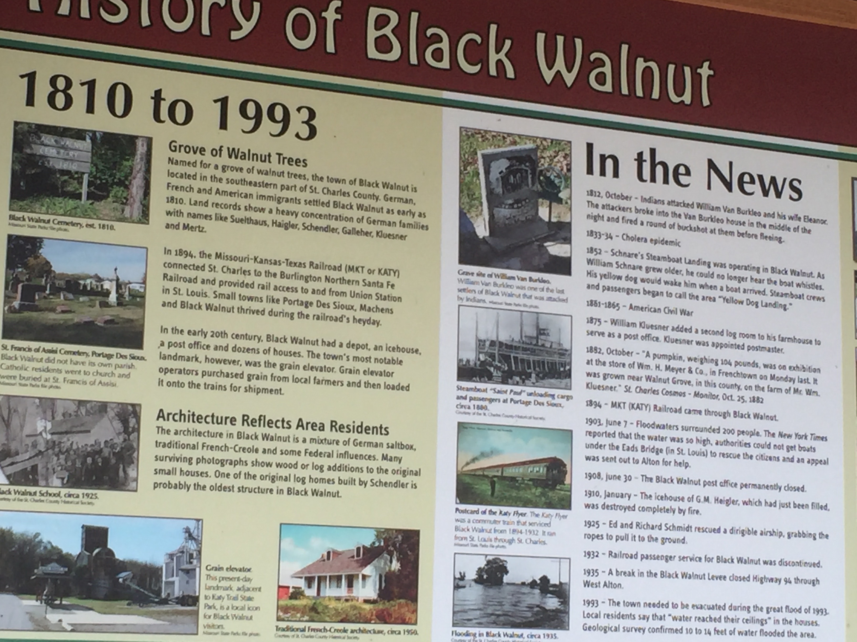
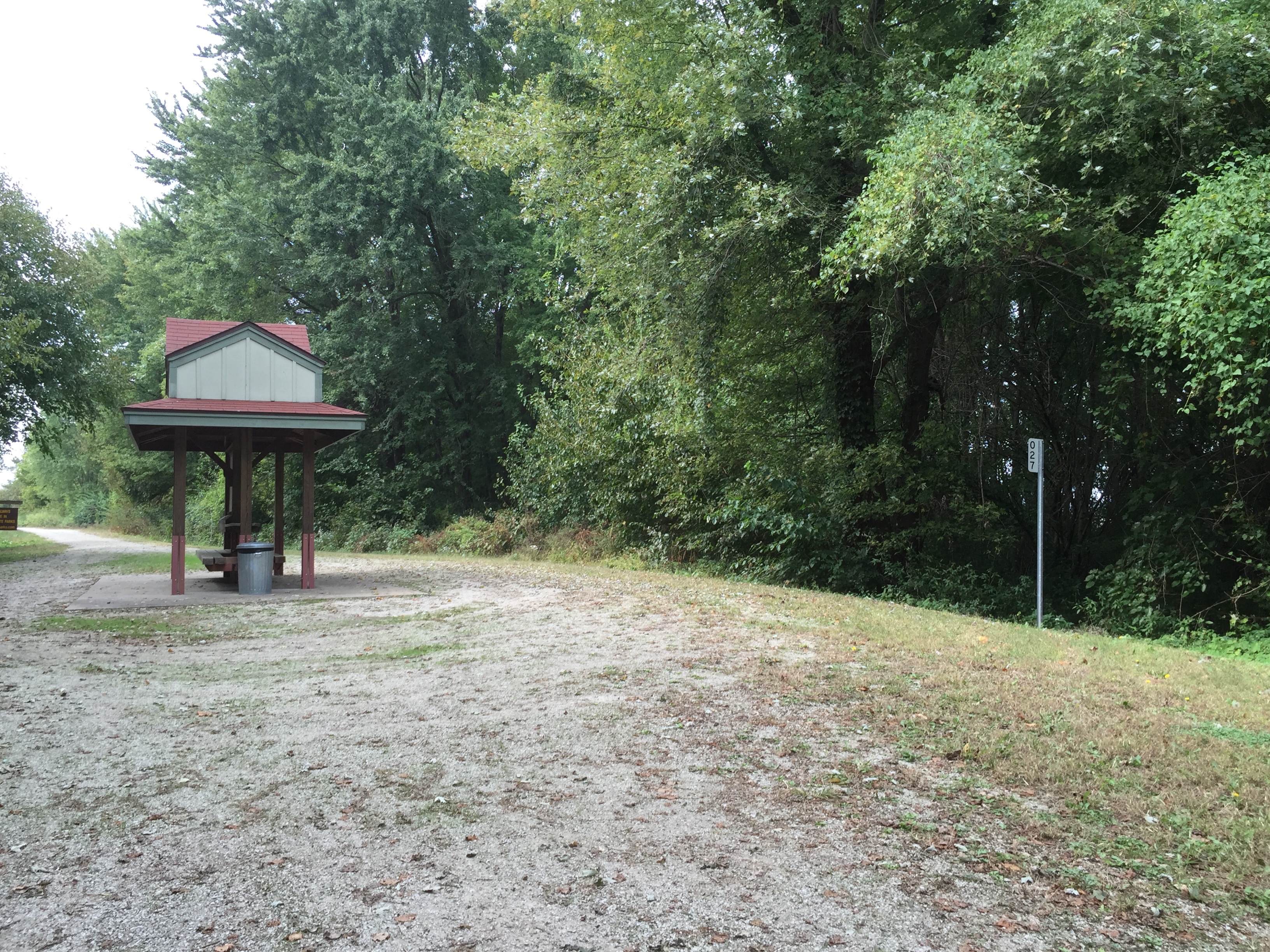
The eastern terminus is at Machens (MAY-chens), a town that no longer exists. In fact, nothing exists except some signage and a bathroom.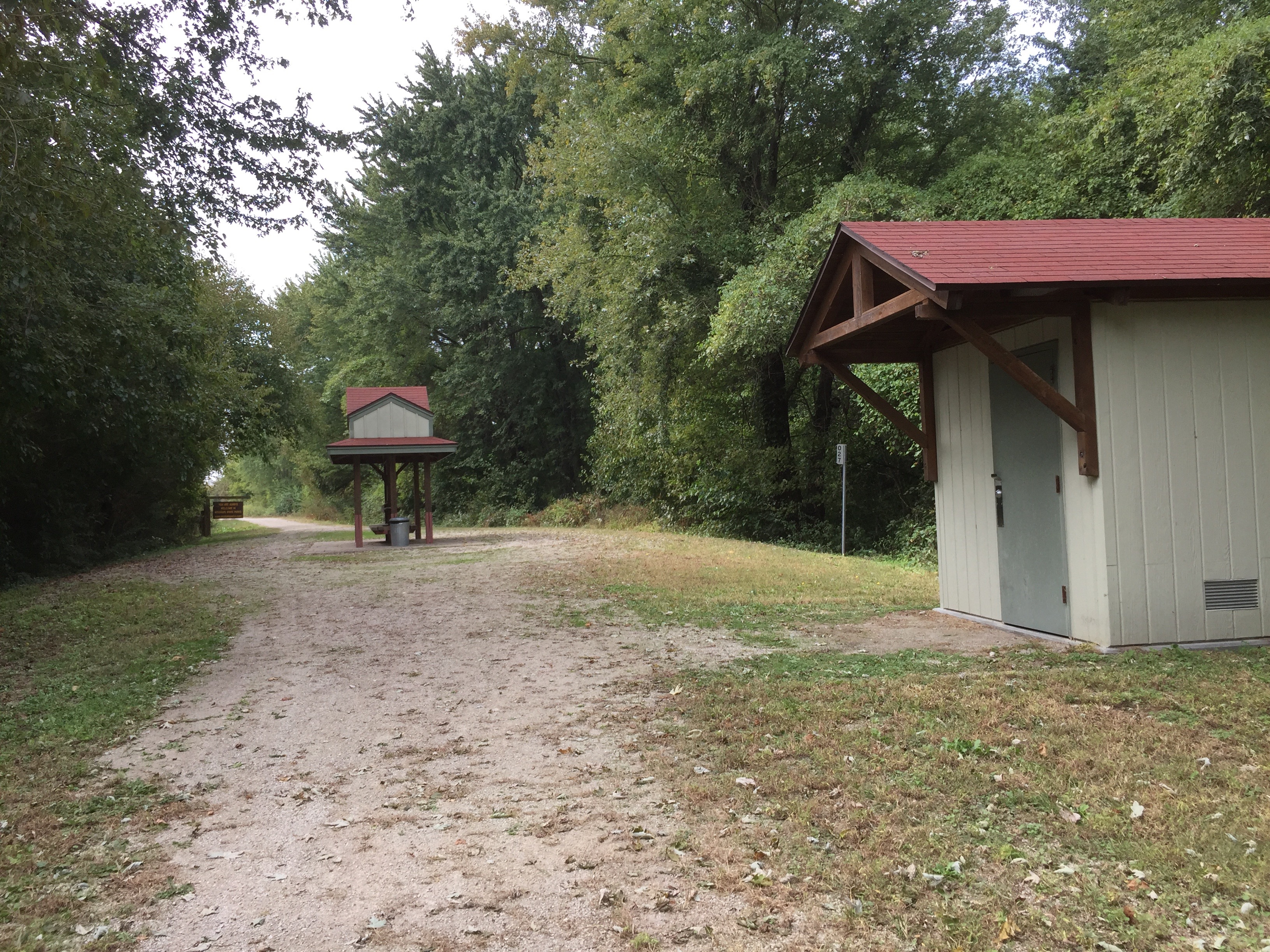
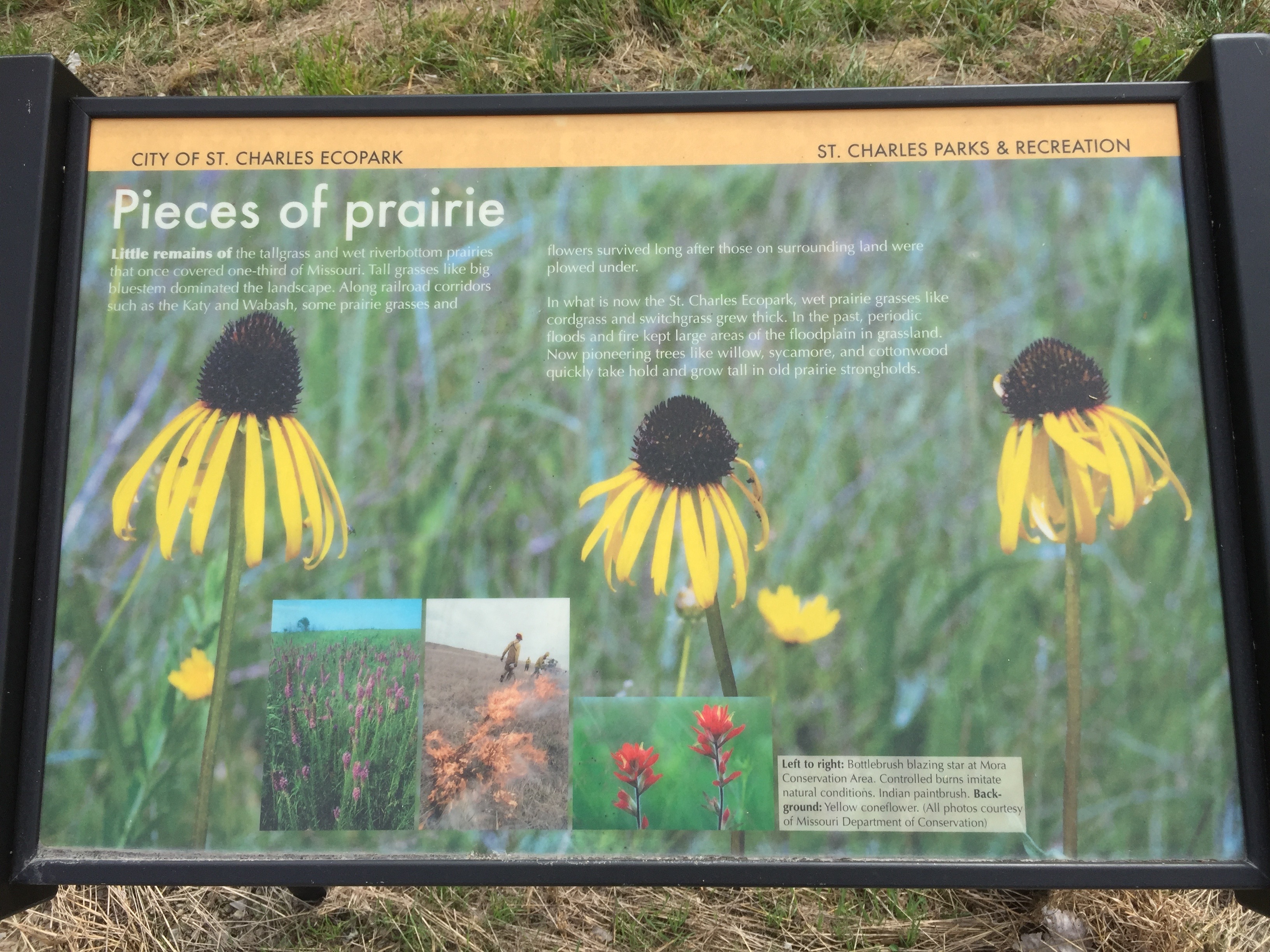
Between Machens and St. Charles there are many places one can leave the Katy and ride very rural, paved roads, in farm country.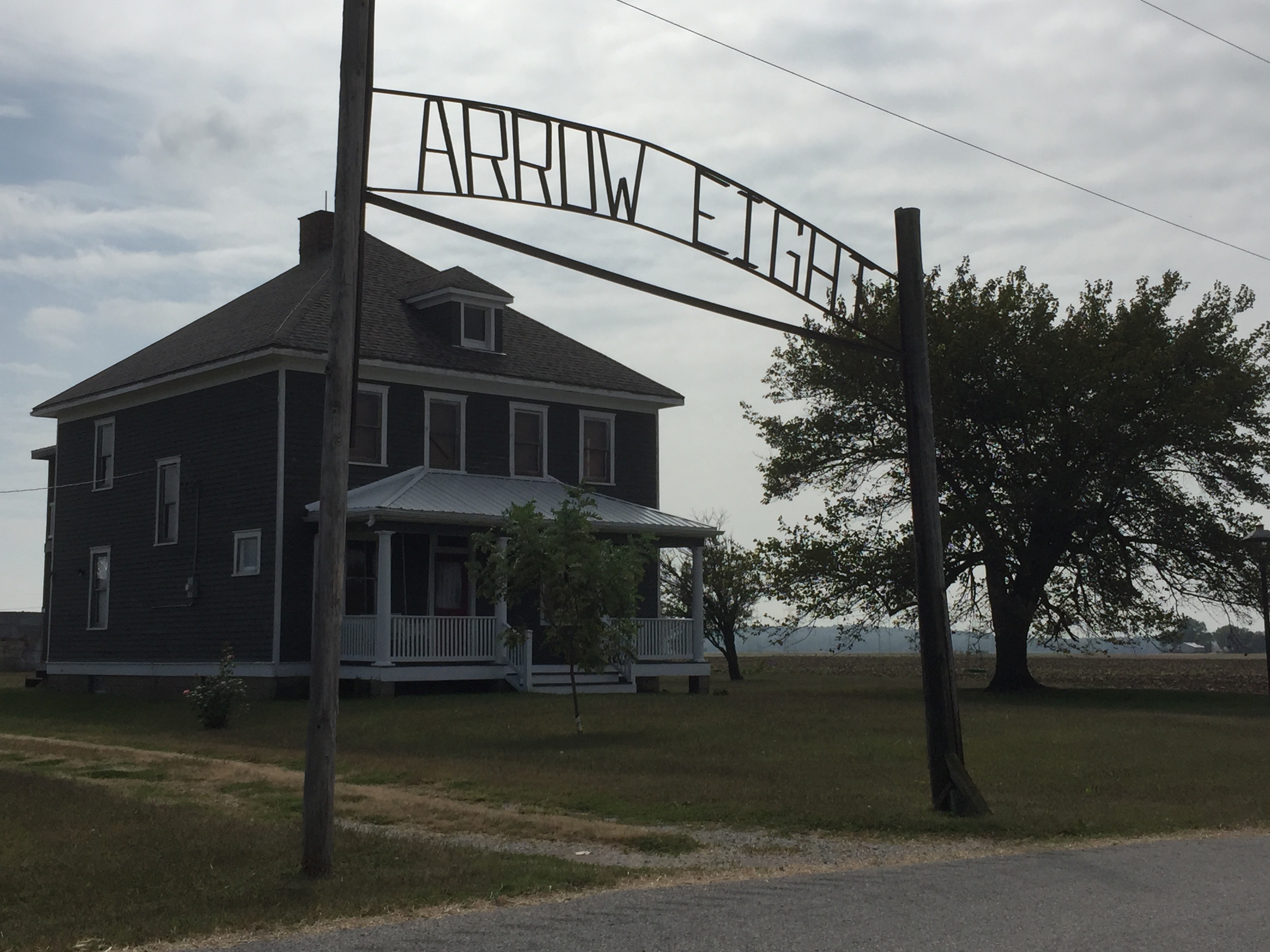
The lowest point of the Katy is between Machens and St. Charles, at 436 feet above sea level. It had been recently damaged by flooding so this section was officially closed for repair. (I appealed for passage, pleading advanced age, a 1,000 mile drive to experience the Katy, and the hope of traversing Chicago to LA; appeal was granted).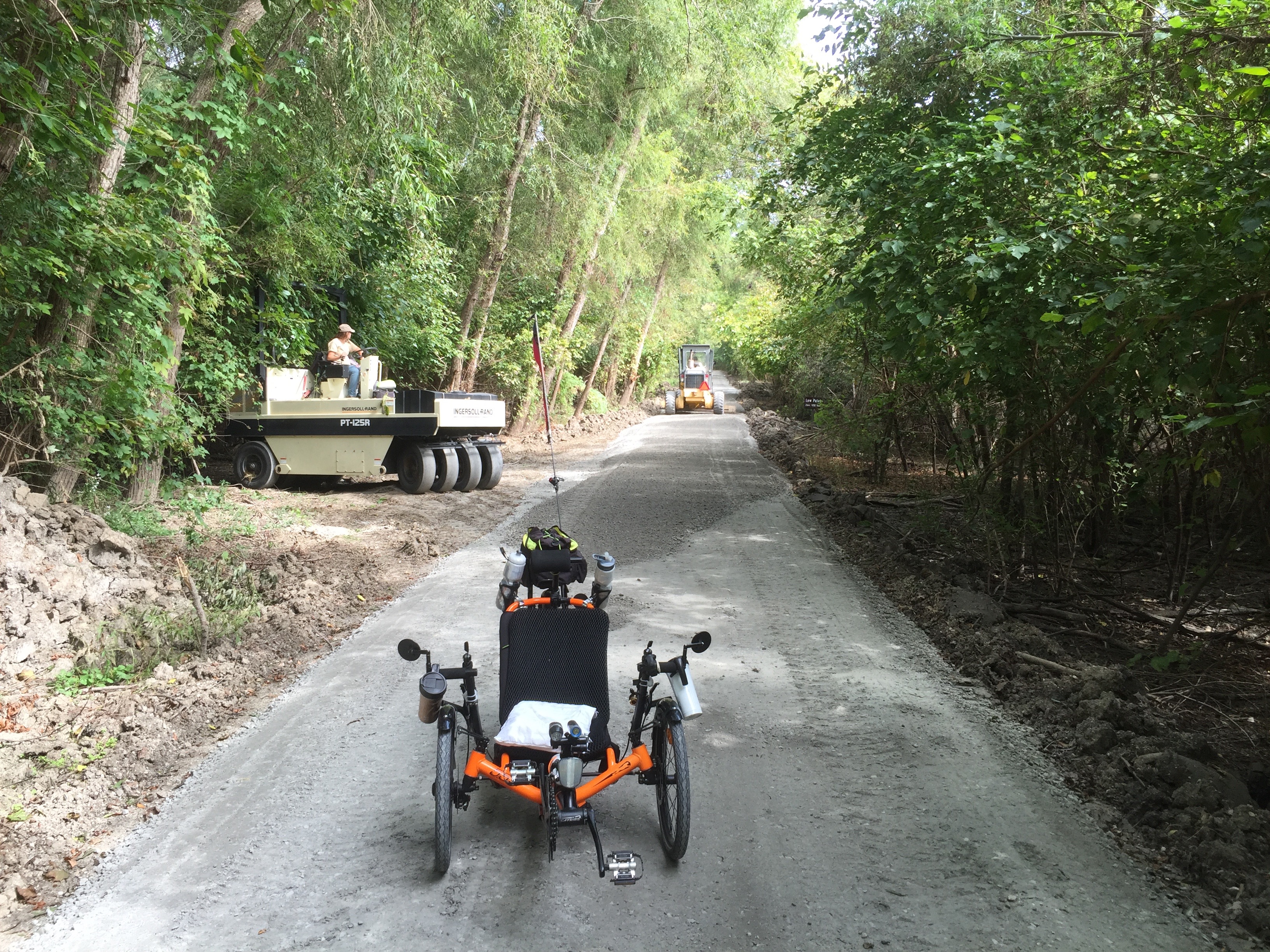
Parks and parking access between the Katy and the Missouri River.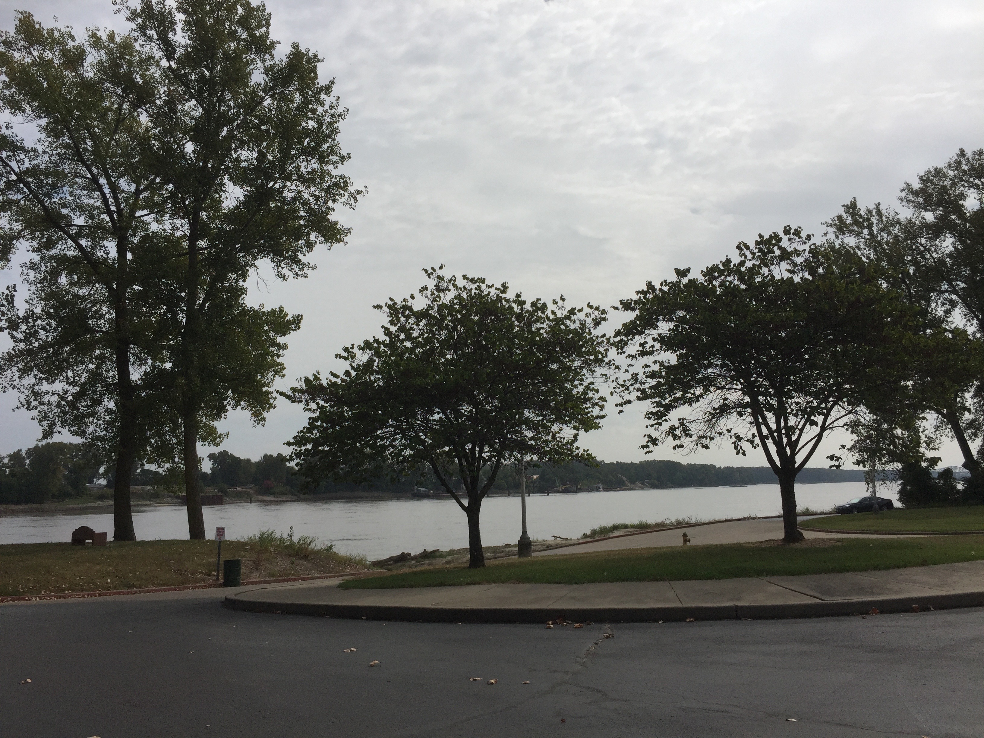
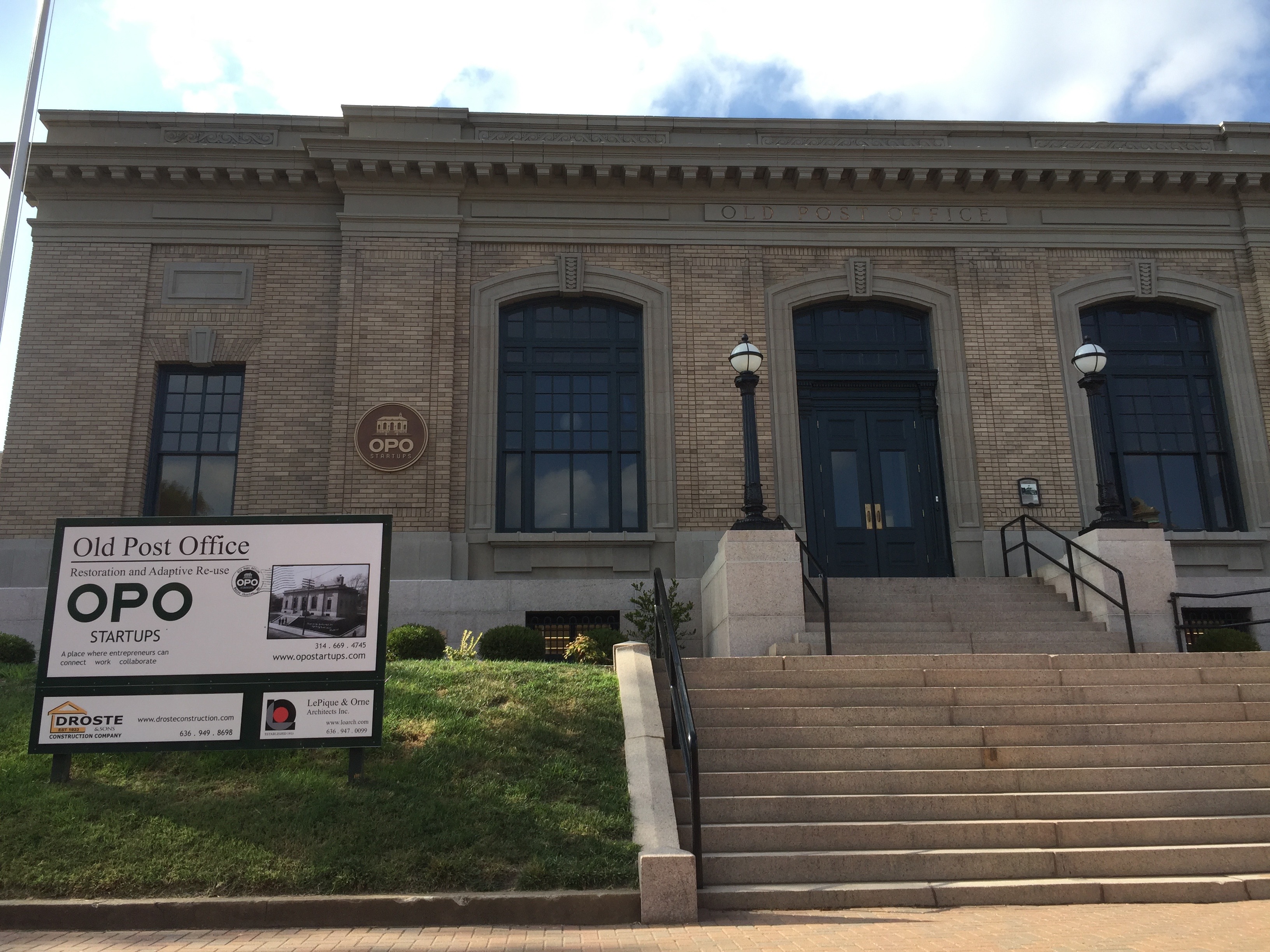
At St. Charles there are multiple memorials. Below is part of the old train station.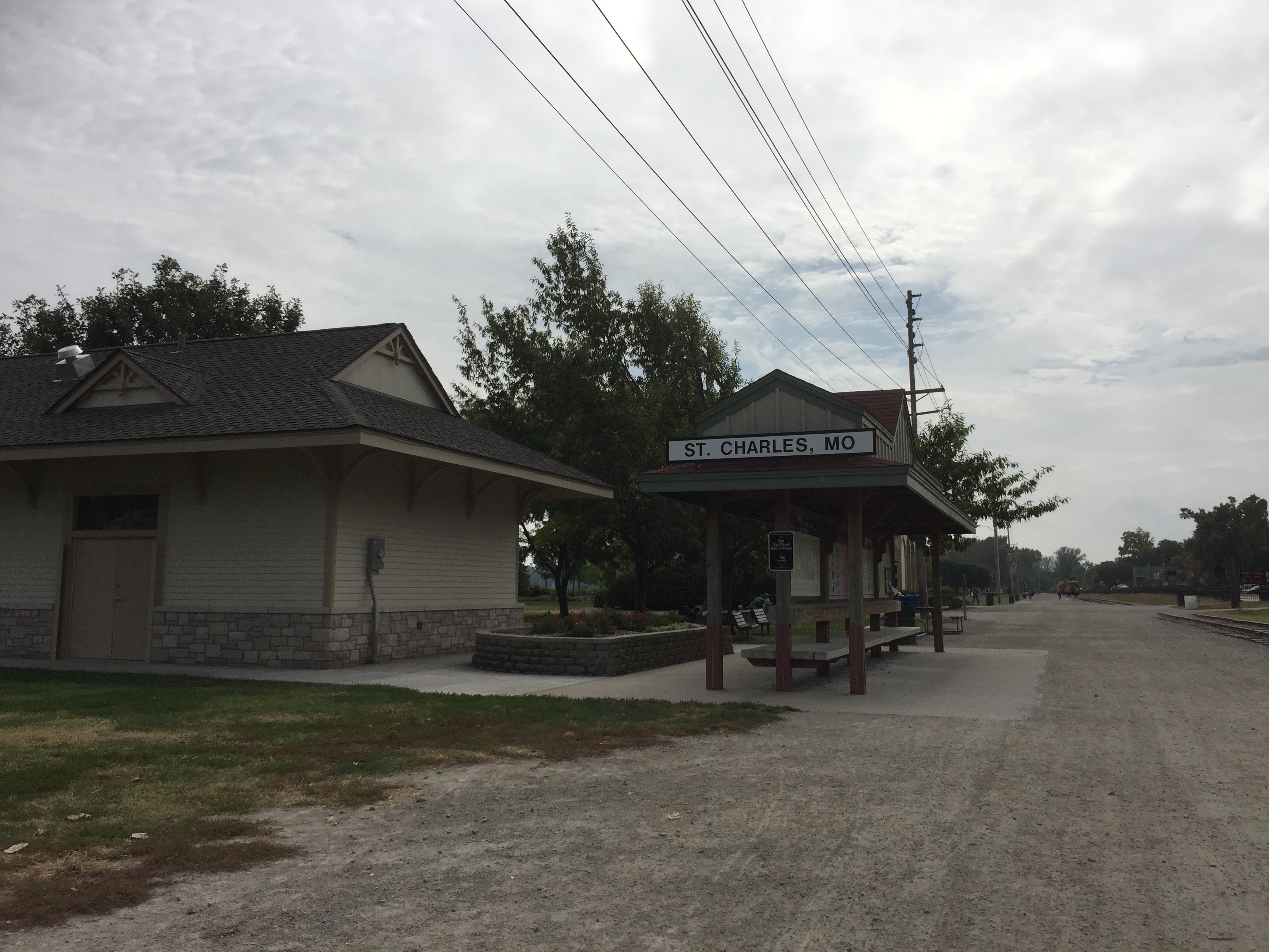
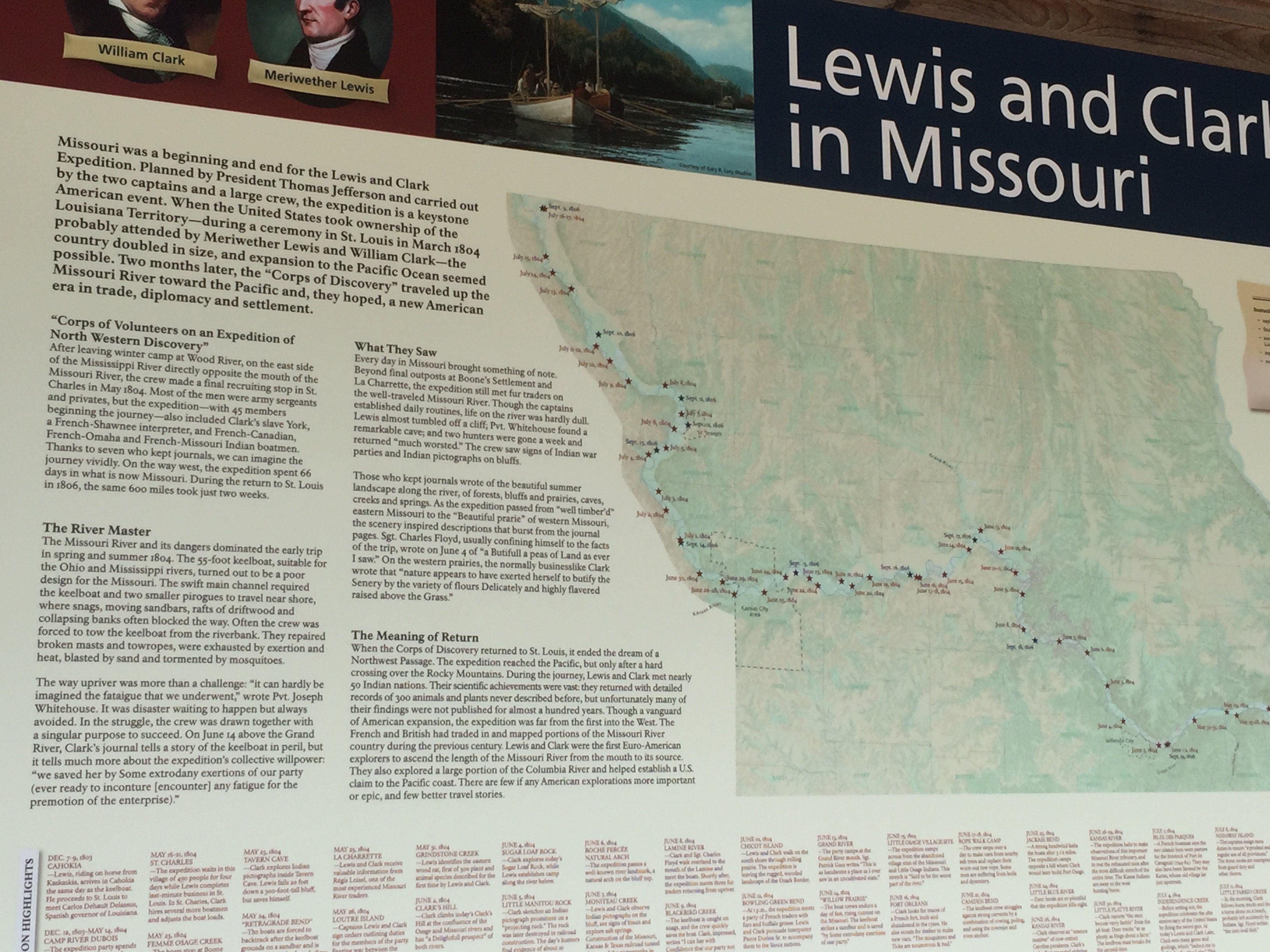
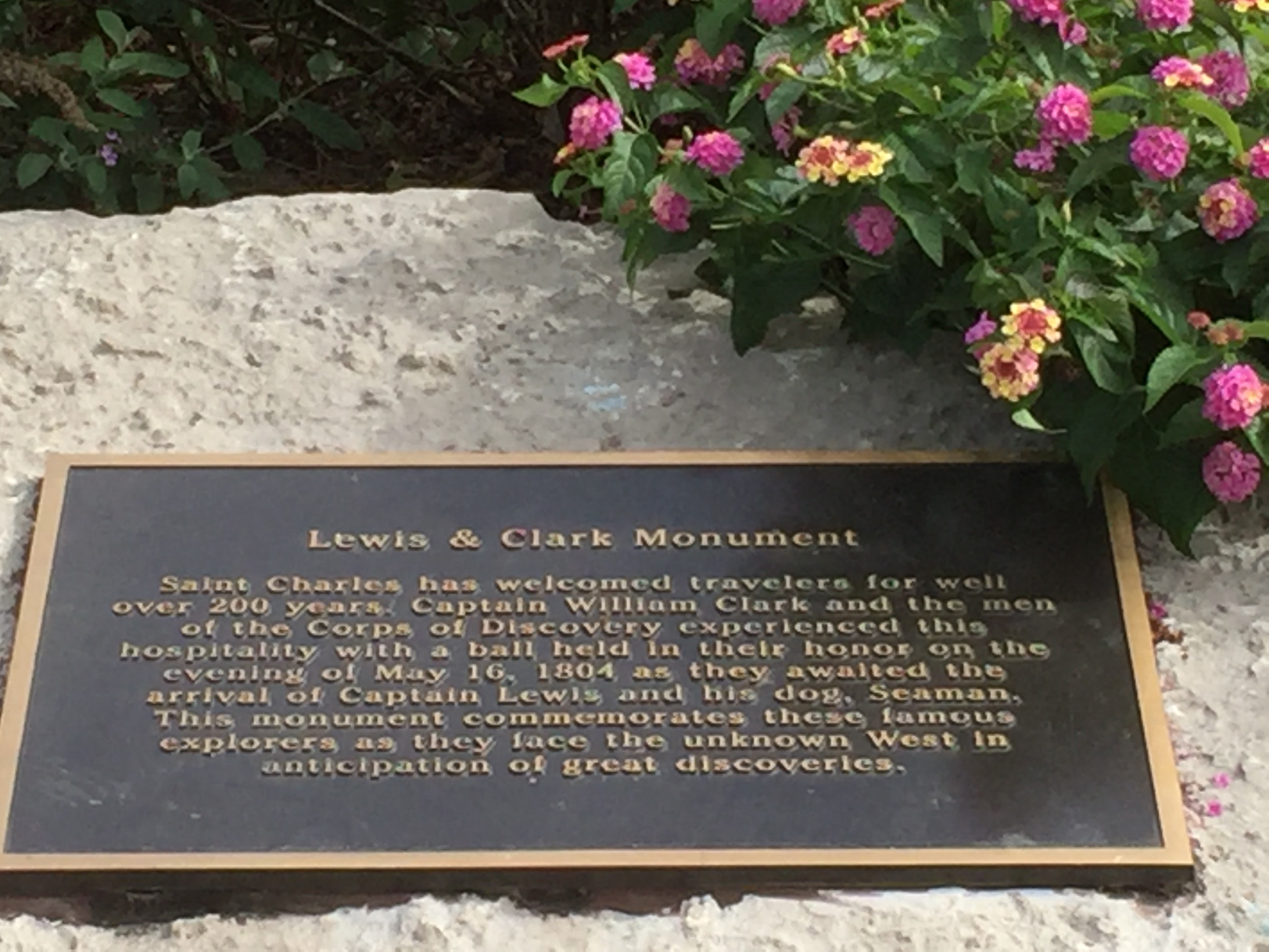
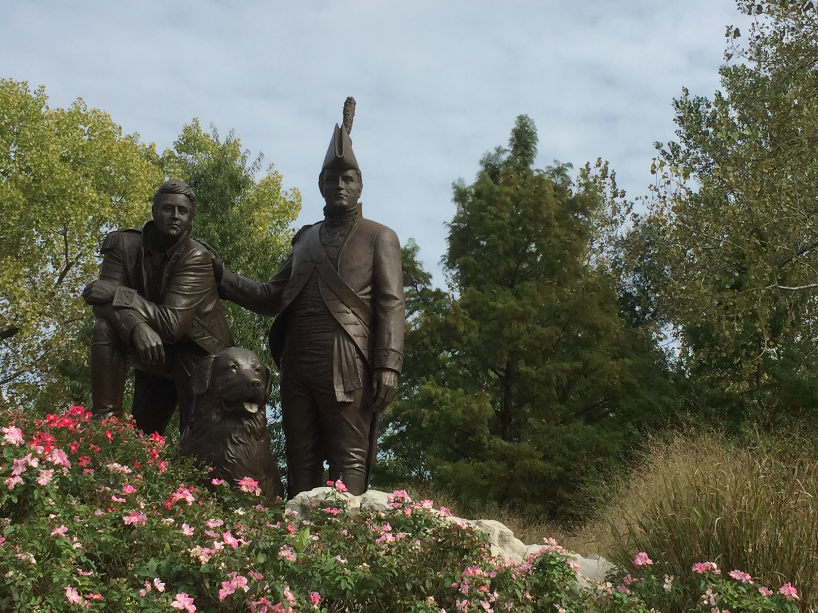
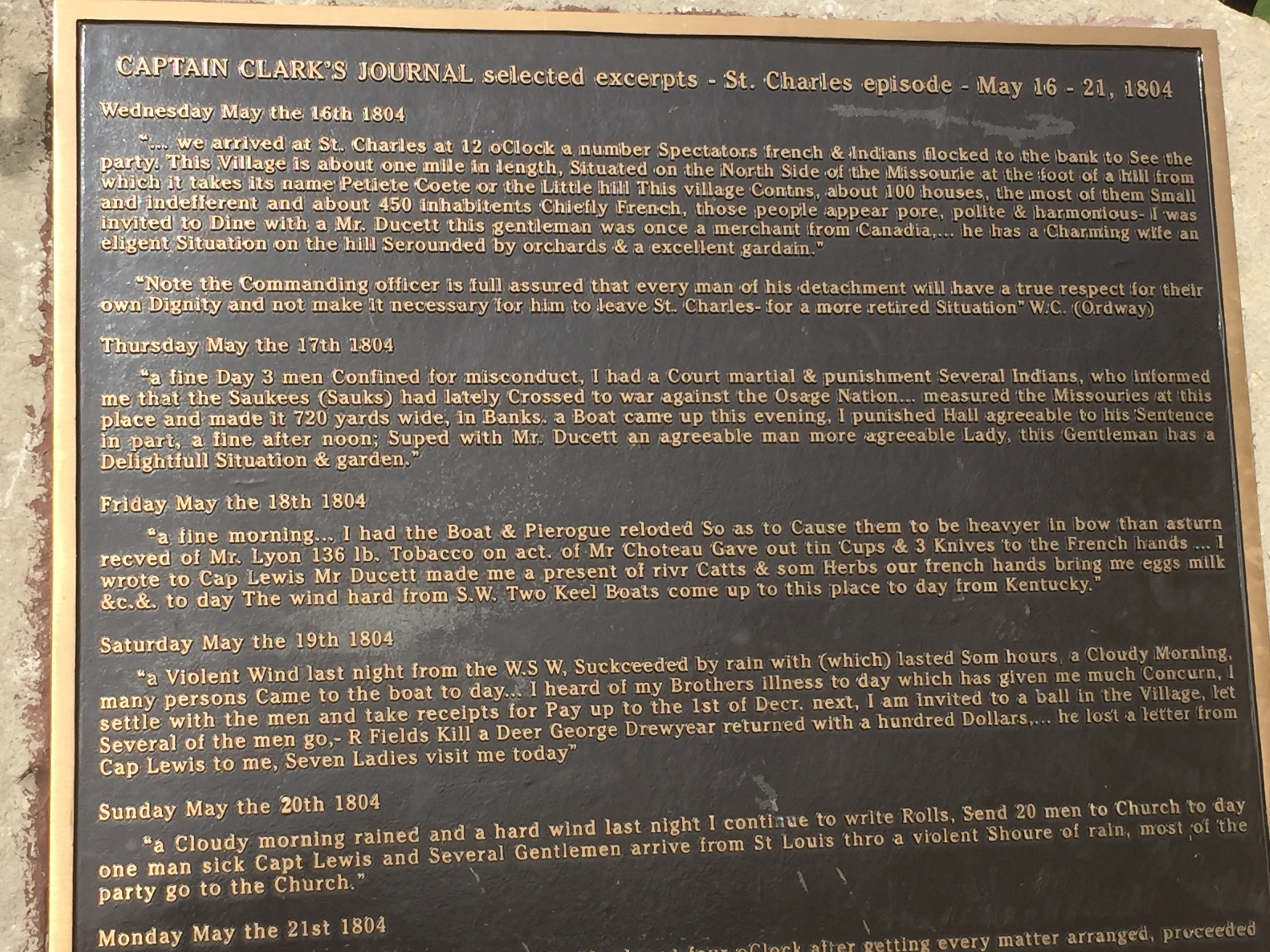
The famous Lewis & Clark expedition did final provisioning in St. Charles before departing westward up the Missouri River in 1804, seeking a passage to the Pacific Ocean. Below is a memorial to these leaders and their dog Seaman.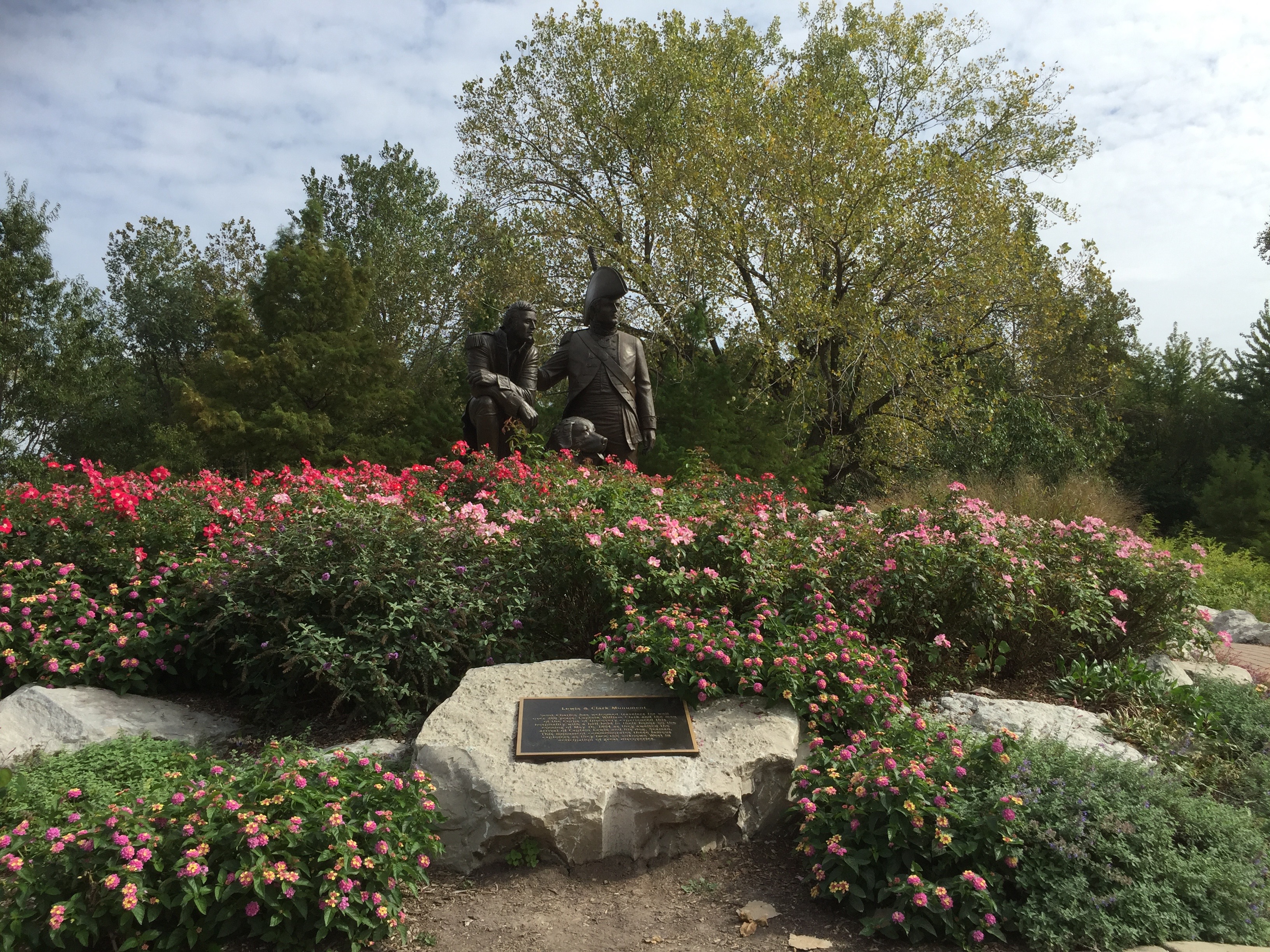
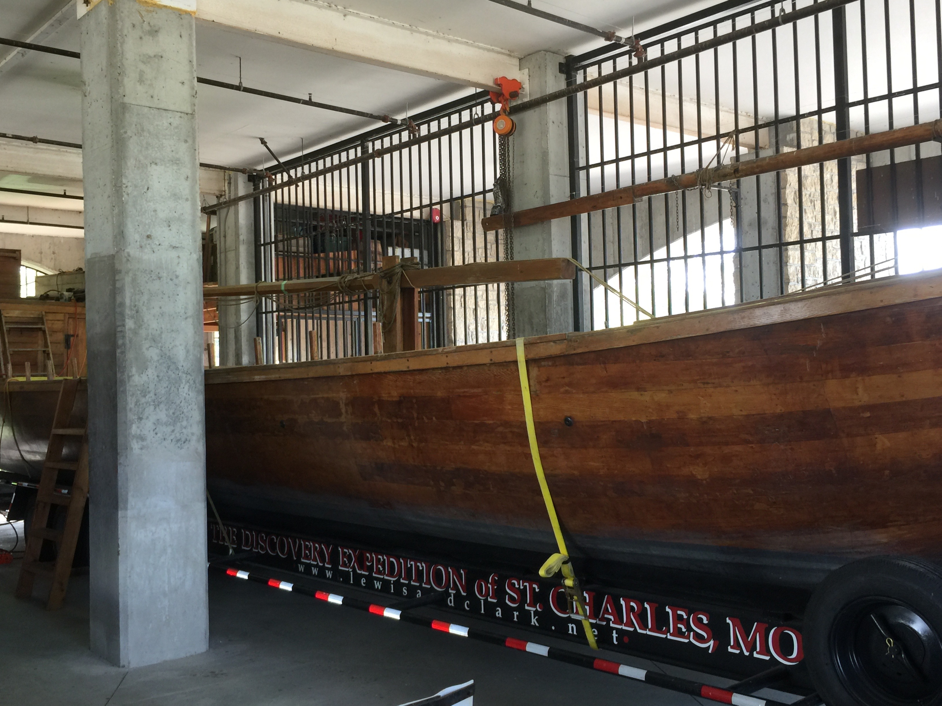
There is a small museum commemorating the boats used (and in the first example, failed in such use) by Lewis & Clark.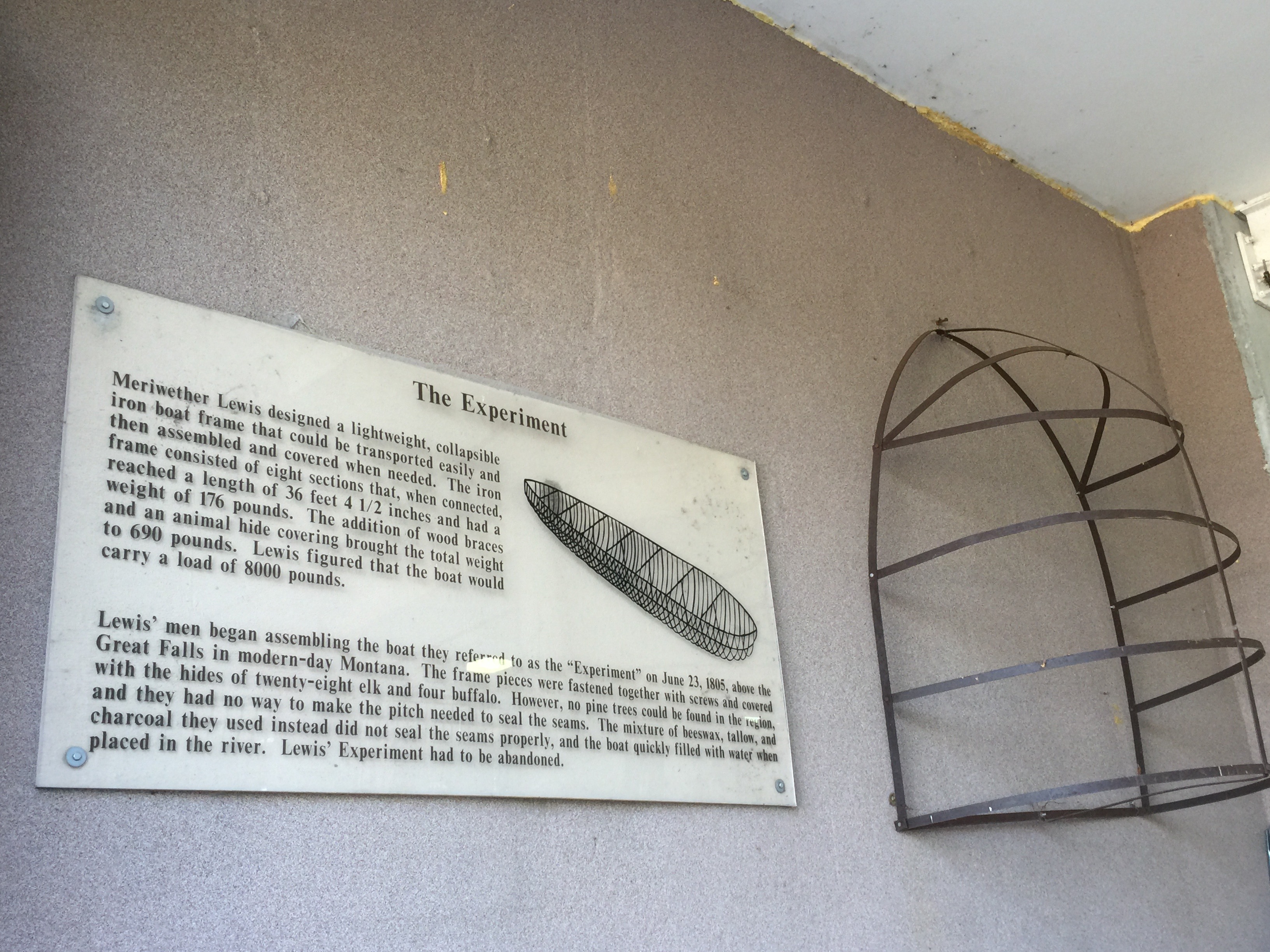
On the north side of the Katy at St. Charles is the very beautiful town with many biker friendly shops.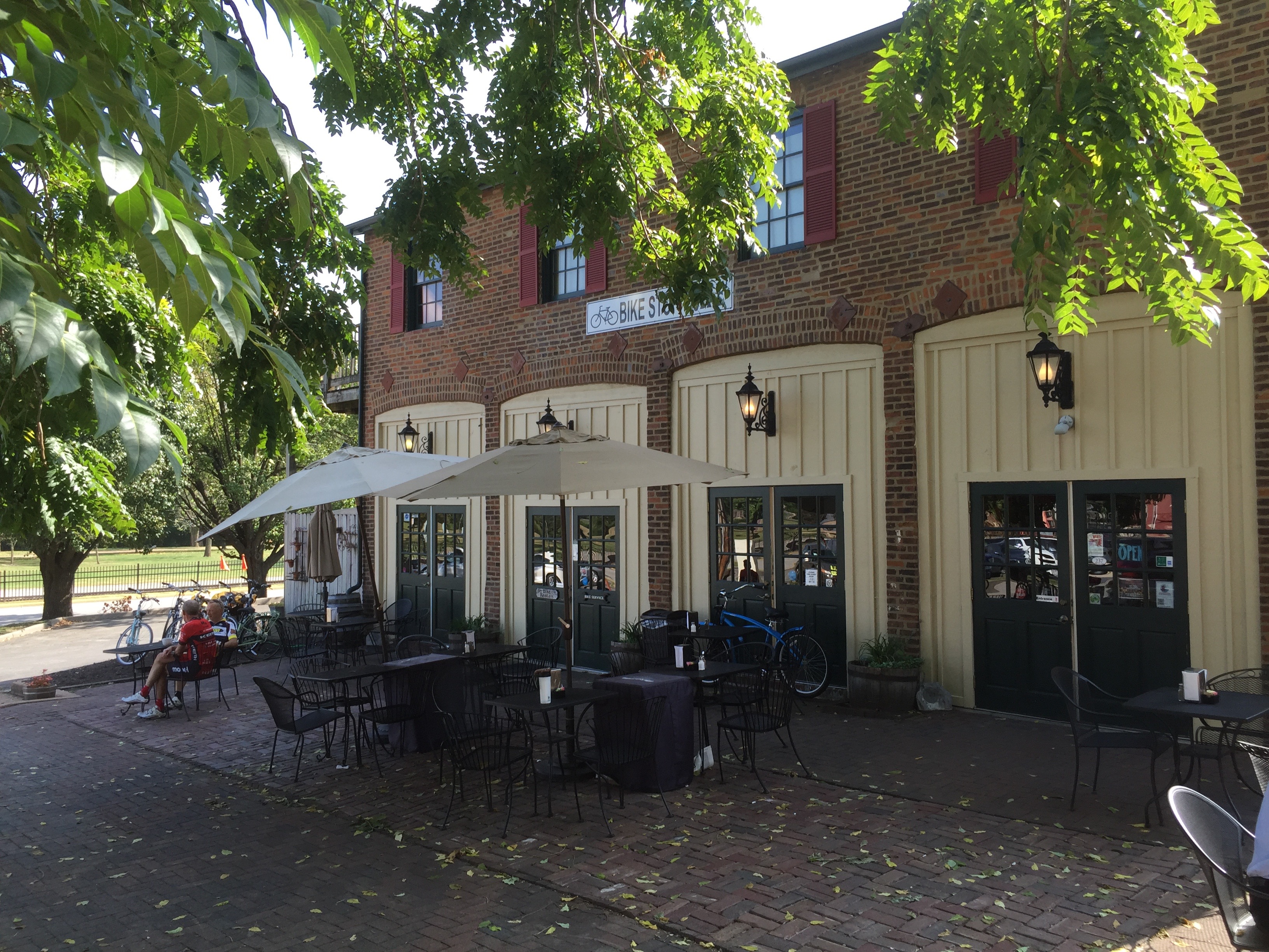
Videos are below. They are in the same order as the above pictures: first the ride eastward to the trailhead at Machens, then the return to St. Charles.
Day 2 of Leg 2 is here.