Leg 1, Day 5: Springfield to Litchfield
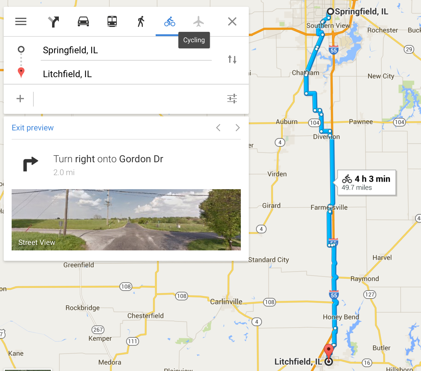
Cyclemeter App: Distance: 58.06 miles, Total 296.48 (83.7% of the way)
Departing the ‘Mansion’ Motel, Springfield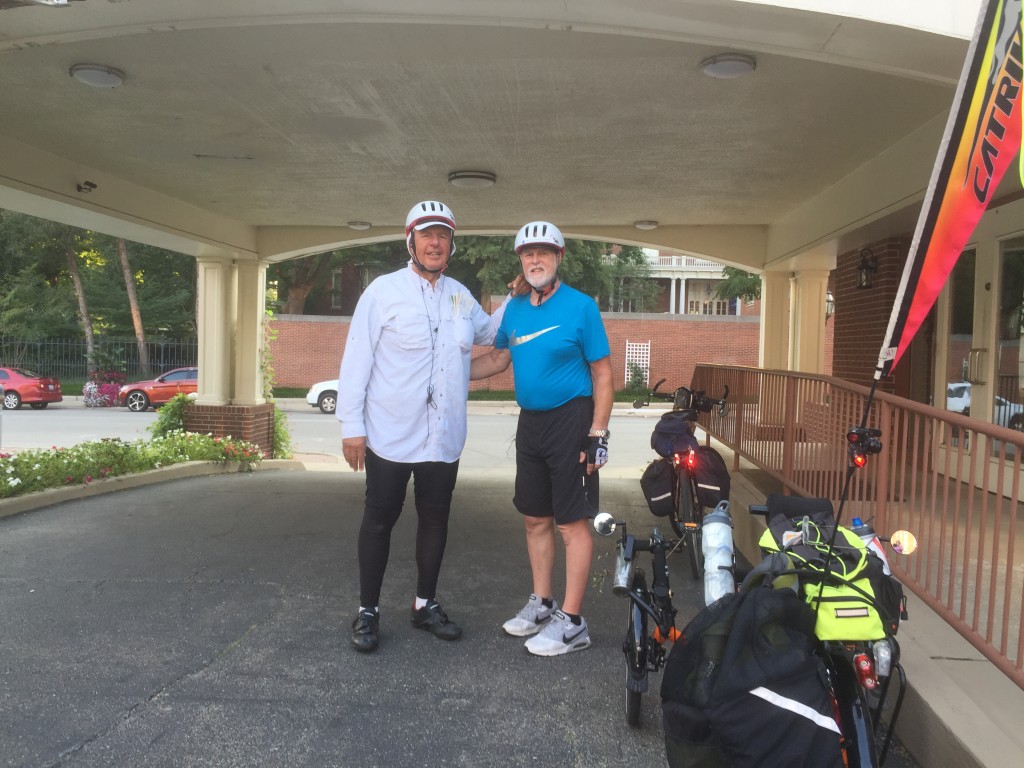
Saying goodbye to Gov. Rauner (perhaps next time we’ll stop by for a visit).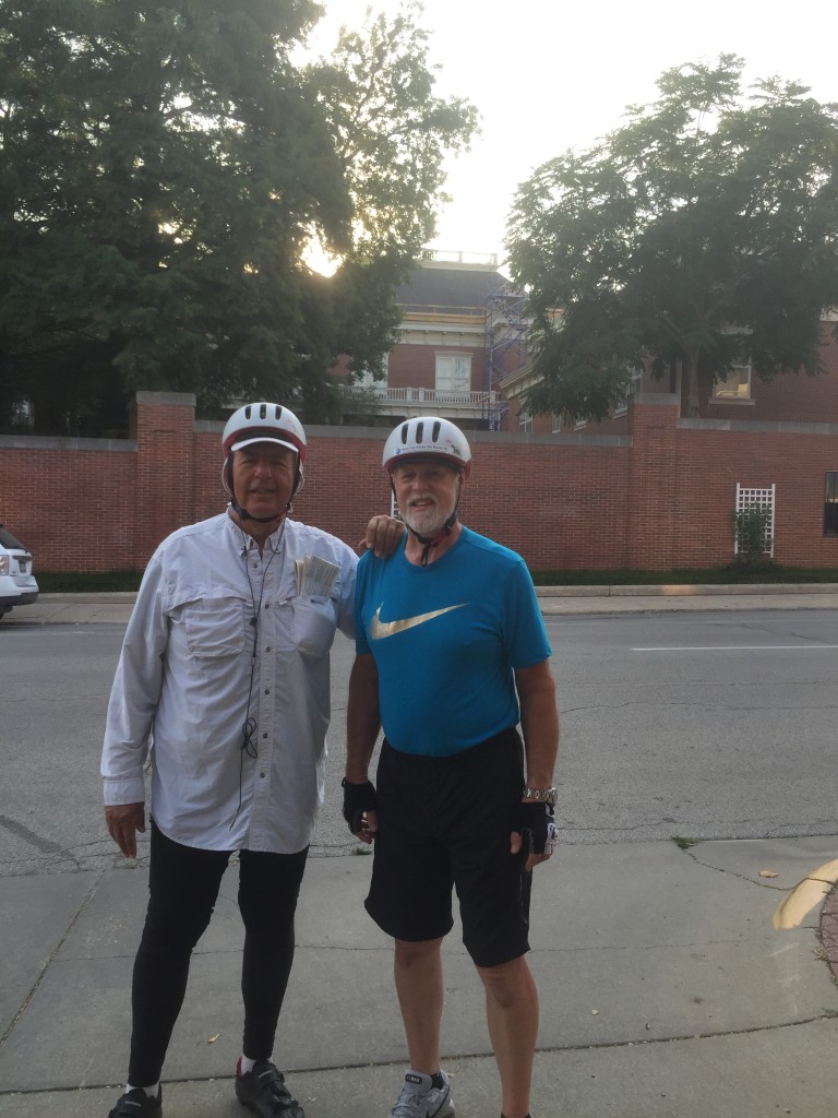
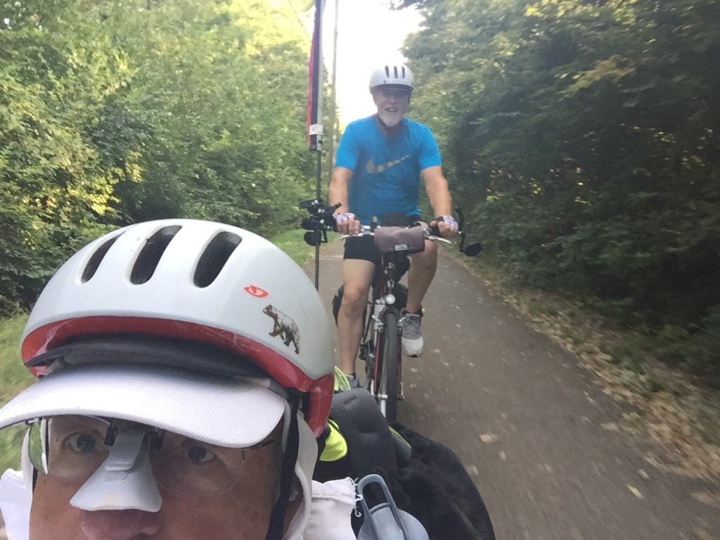
The below video clip is of our departure from our motel, just blocks away from the Capitol. What’s cool in the video–and a total photographic accident–is that the sun at my black creates a foreshadow of my Catrike. (However…the video as imported from my iPhone into HD YouTube compatible format came out sideways. I will try to fix this later.)
And, goodbye to the State of Illinois Capitol.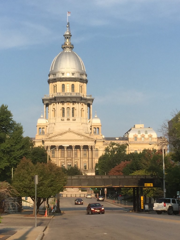
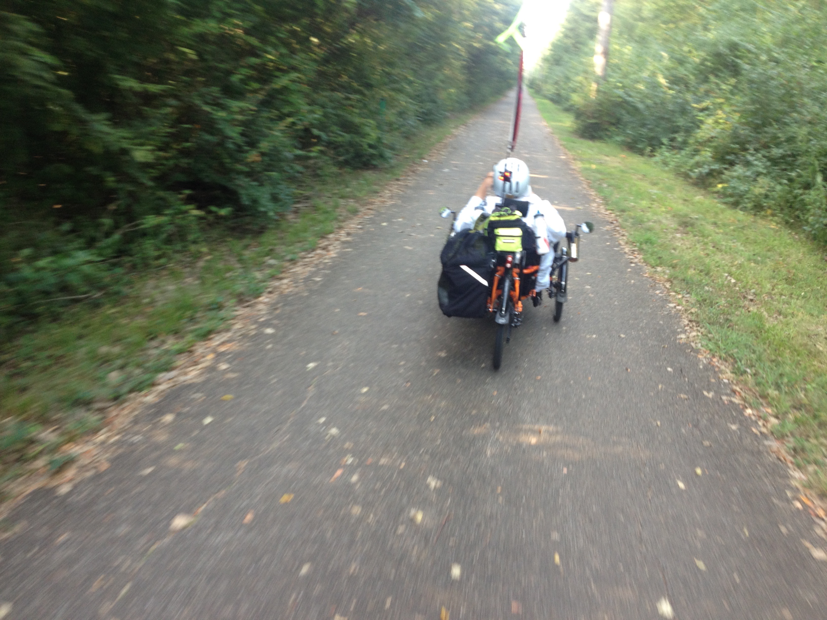
After getting out of the center of the city, we were able to pick up an urban trail that got us safely out of entire city.
Then, that trail ended, but shortly the road connected with a wonderful bike trail that created a dramatic contrast with the city scape of Springfield. (But, it was not a sign of what was to come).
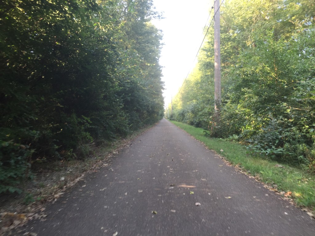
The trail ended, as they all seem to do. Google bike maps lured us toward a promised bike route, that looked (on paper) to be more promising than pounding along on a busy highway portion of Route 66.
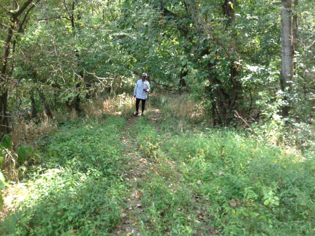
The below picture shows what that confidence in Google brought us to: that is indeed the ‘trail’ straight ahead, into the woods, over a creek, and unto grandmother’s house for all we could tell. (My digital bike thermometer read 113 F in the sun in the field, while we were trying to figure out what we should try to figure out).
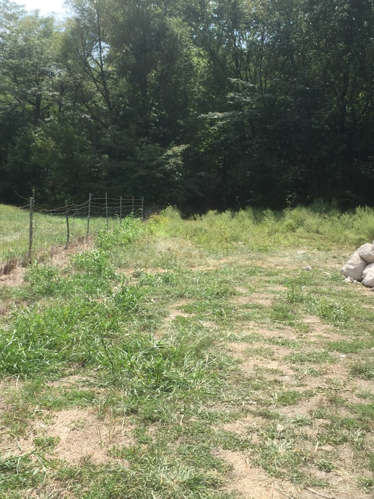
There is, deep in the woods from which I am emerging feeling very much like Lewis & Clark, a very narrow ‘trail’ but suitable only for very short people riding rugged mountain bikes, i.e., not us.
After retracing our route to county roads, we rode on. Undaunted, some miles later we were lured into following another Google promised bike trail. This one was wide, but with a large loose gravel bed. The below view doesn’t convey clearly that we were here faced with a pretty steep upgrade that our wheels could not grab to propel.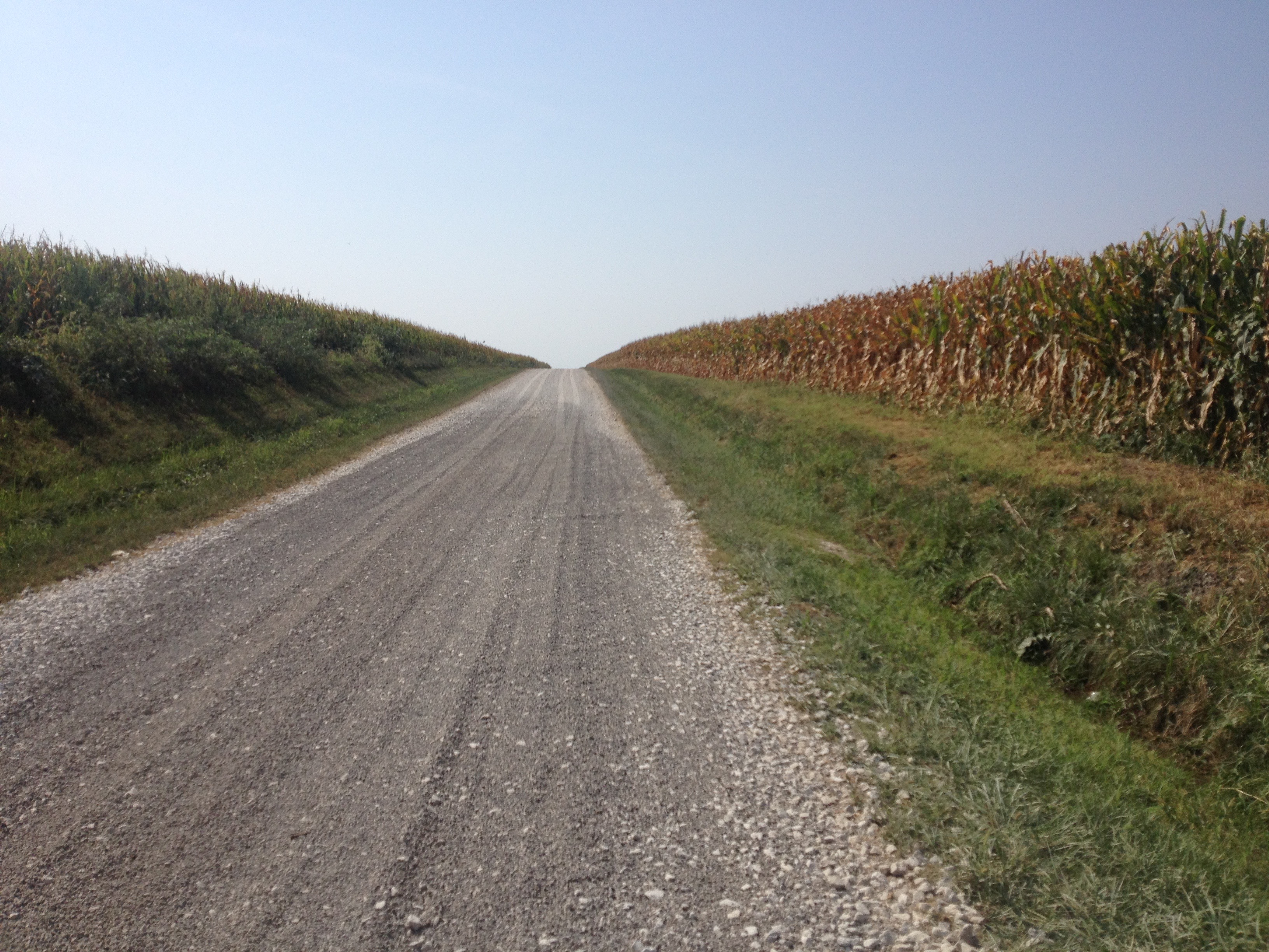
Hope springs eternal. I’m looking to confirm we are where Google said we should be. (We were). Then we went back to the ACA paper maps and went directly for the town of Diverton and the Route 66 highway.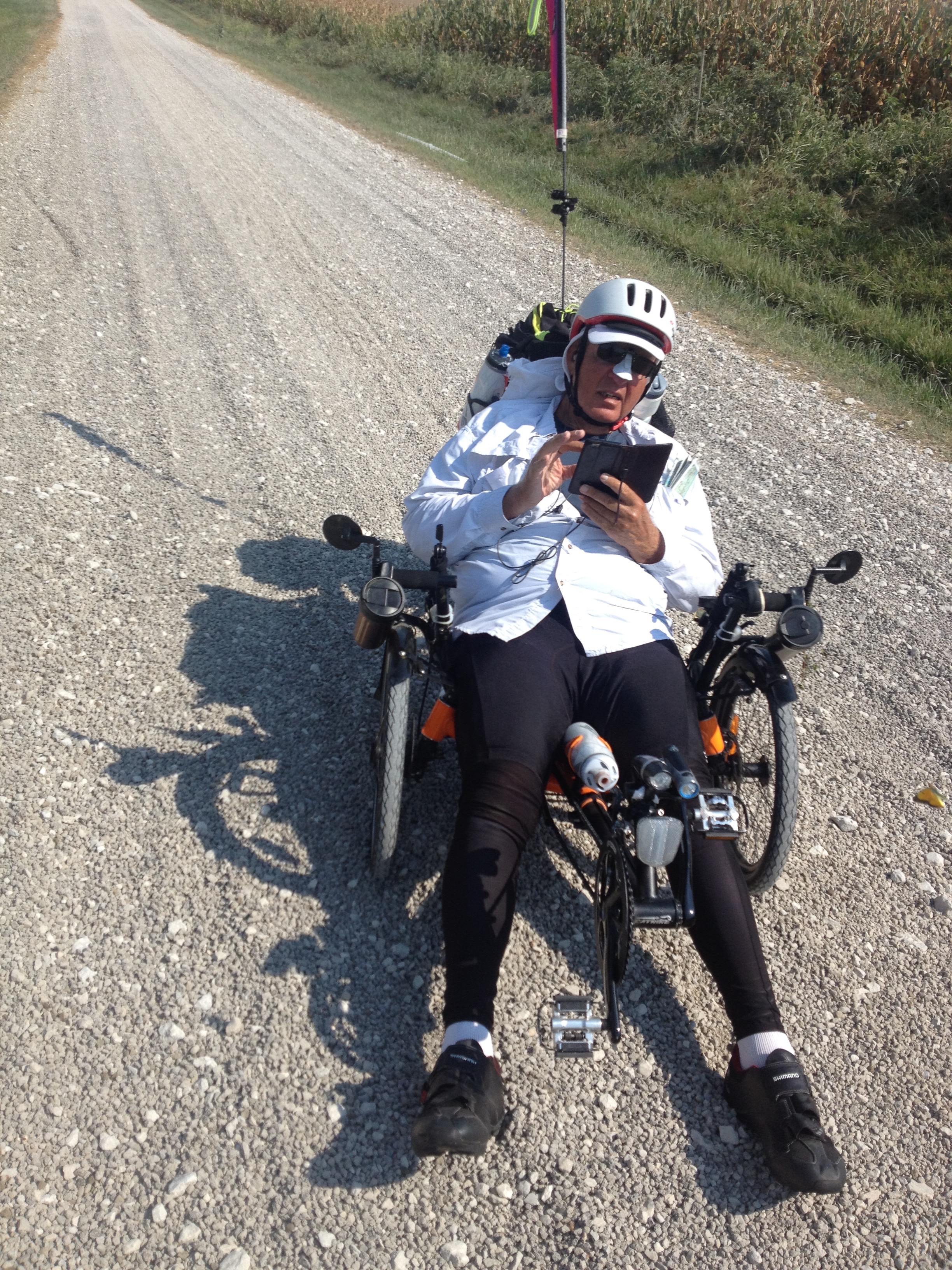
One nice feature of the Route 66 highway (just to the right of Corky) is that we always knew where we were as we were just feet away from I-55, and the road noise that went with it.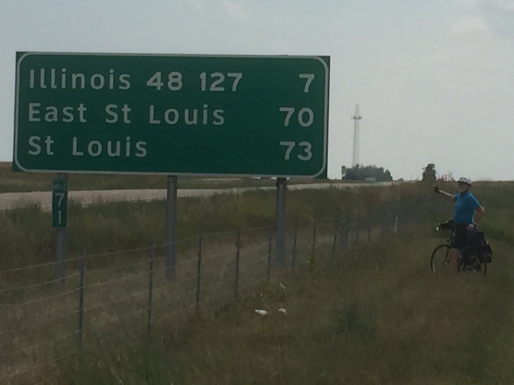
Another benefit of adding I-57, is that our support vehicle with the smartest dog in the world could cheer us on in the 100 F heat.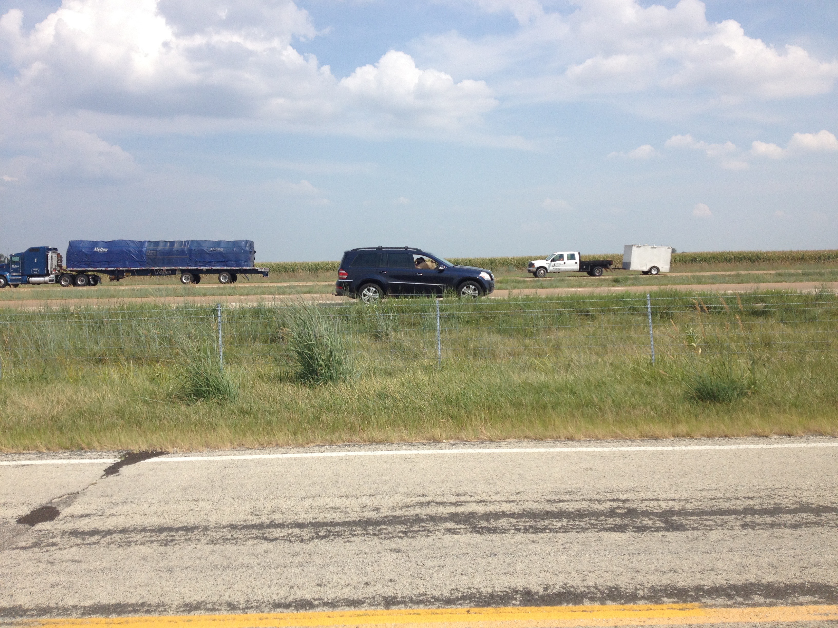
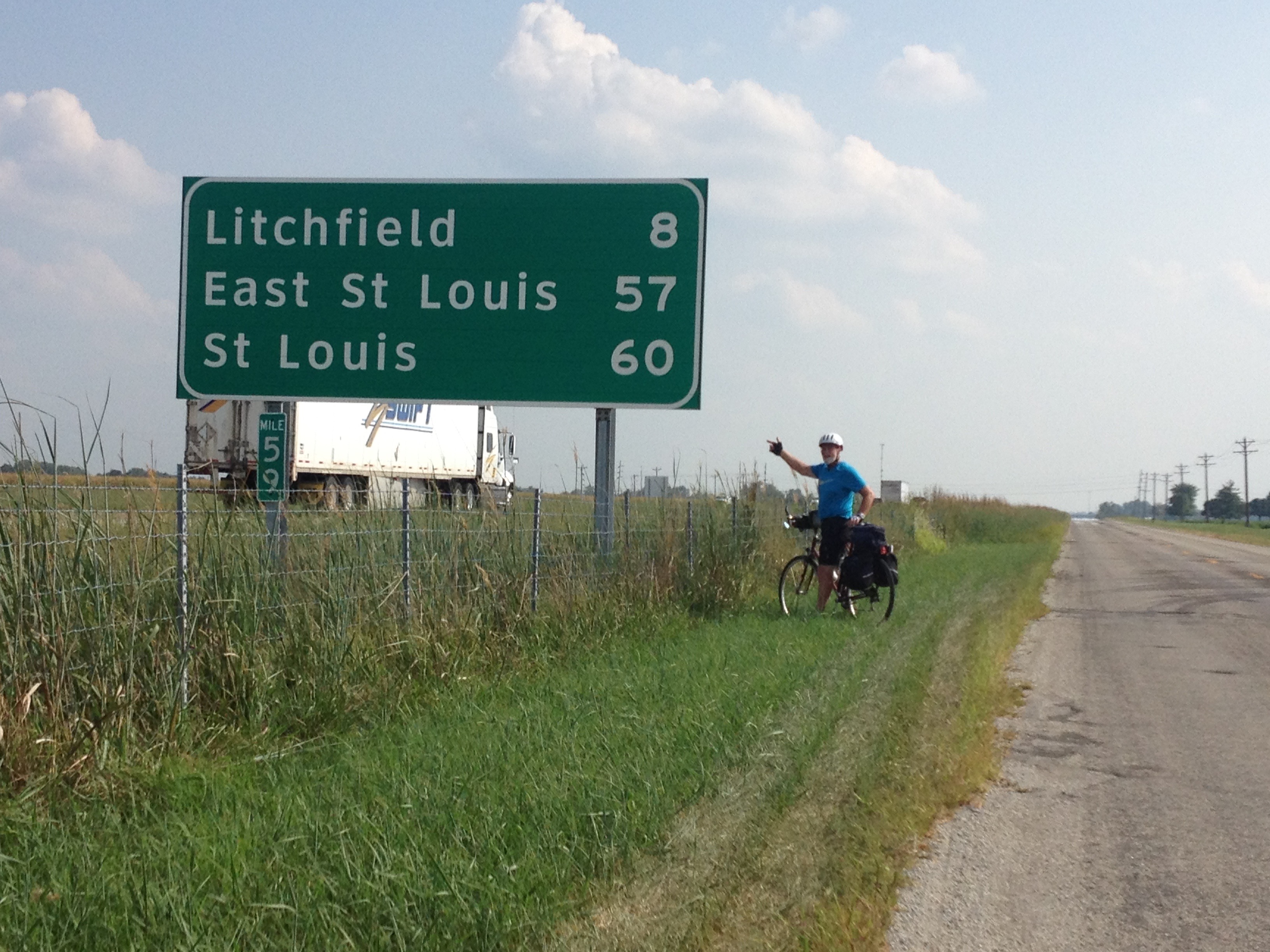
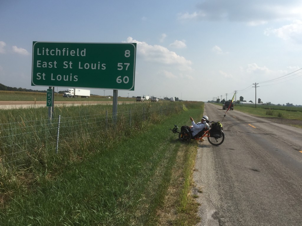
Finally, Google was able to guide us away from a busy, noisy portion of Route 66 to quiet country roads all the way to Litchfield, Illinois.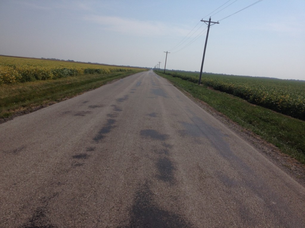
Day 6 here